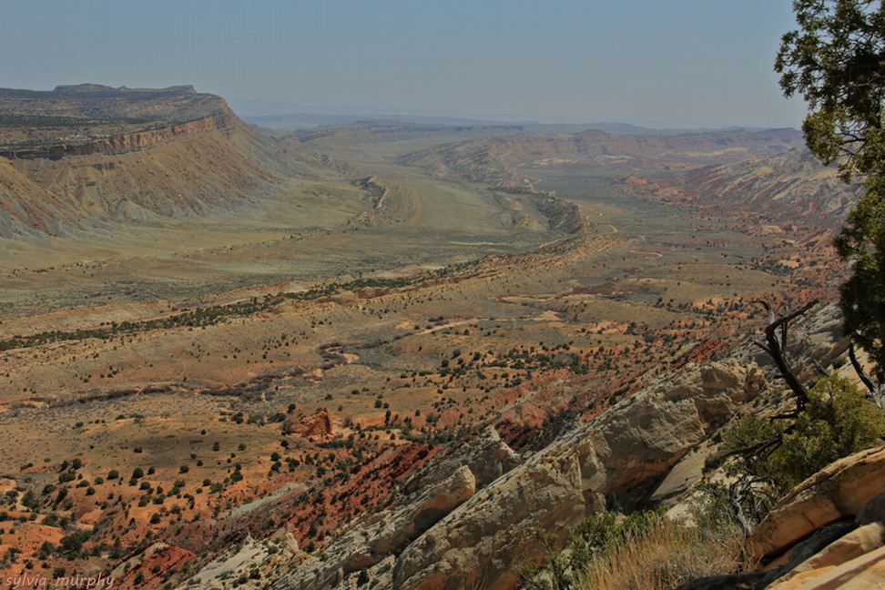
The S-bend of Waterpocket Fold in Capitol Reef National Park
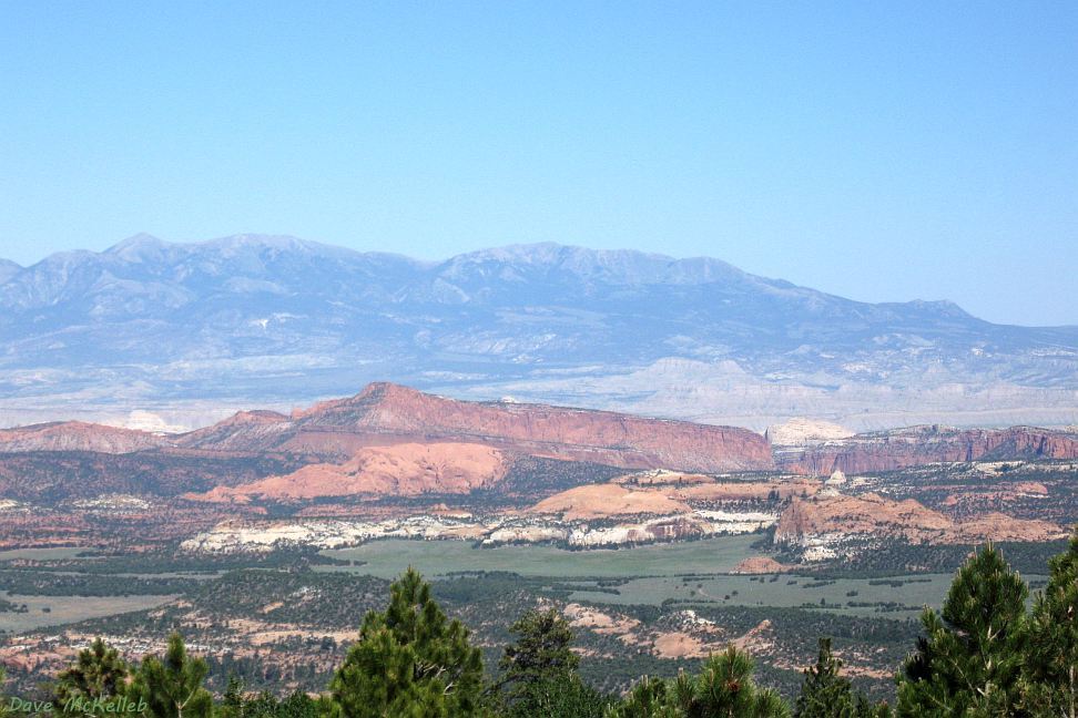
View of Waterpocket Fold from Bouilder Mountain summit, in front of the Henry Mountains
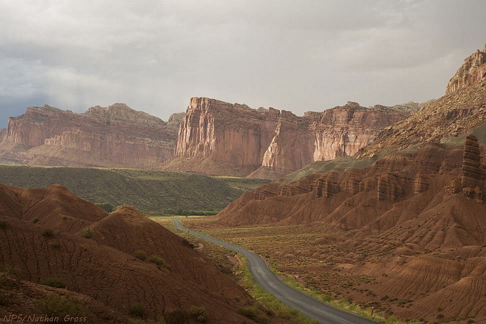
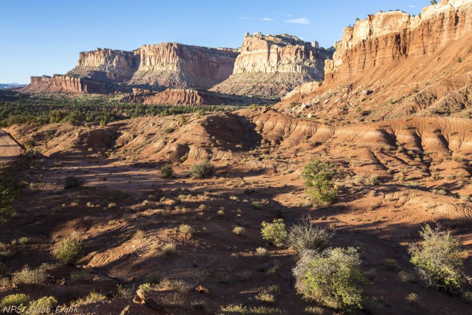
Scenic Drive along Waterpocket Fold in Capitol Reef National Park
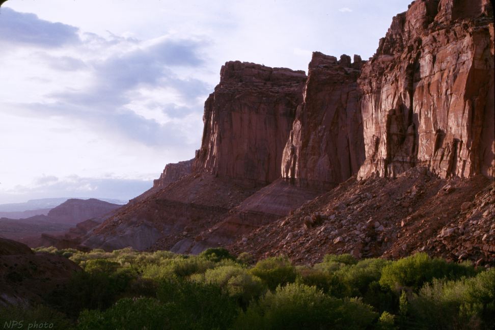
Fruita and Wingate cliffs, from Capitol Reef scenic drive
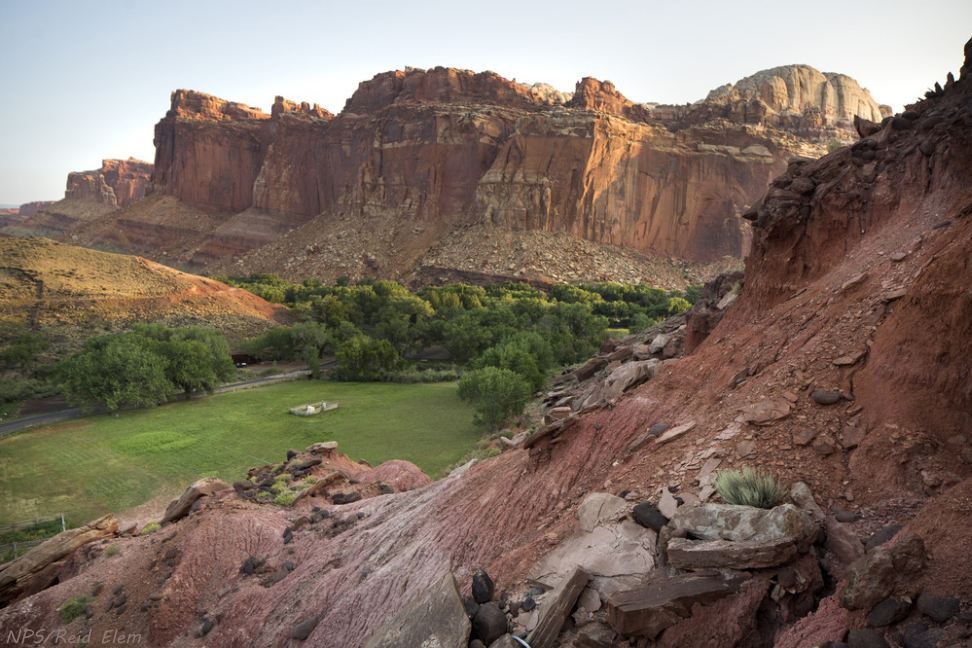
Fruita Historic District from Cohab Canyon Trail
Waterpocket Fold from Chimney Rock trail
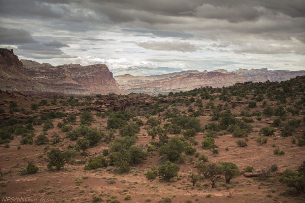
Waterpocket Fold from Panorama Point
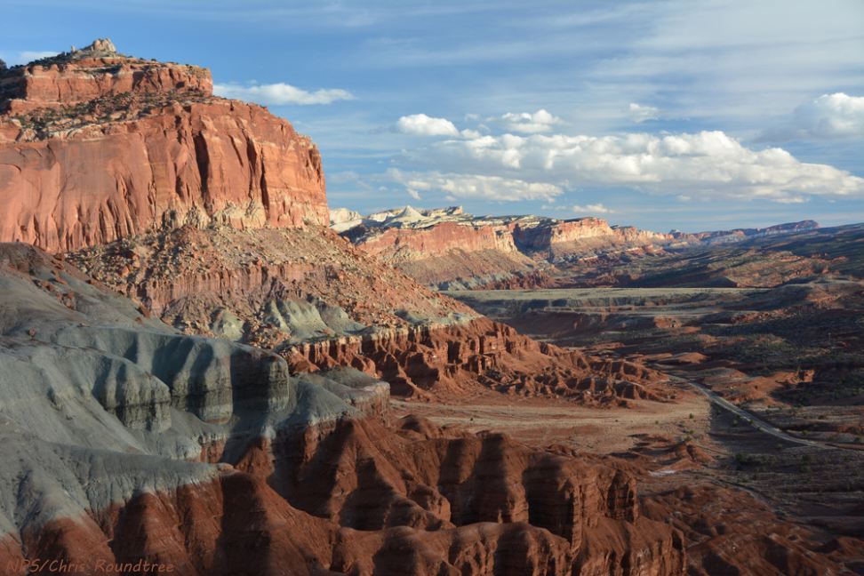
Western Escarpment of the Waterpocket Fold
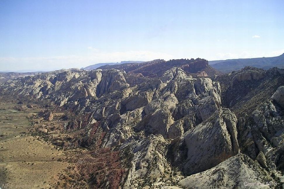
Rugged spires along Waterpocket Fold
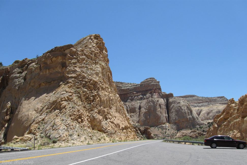
Scenic Byway 24 cutting through the geology of Waterpocket Fold in Capitol Reef National Park
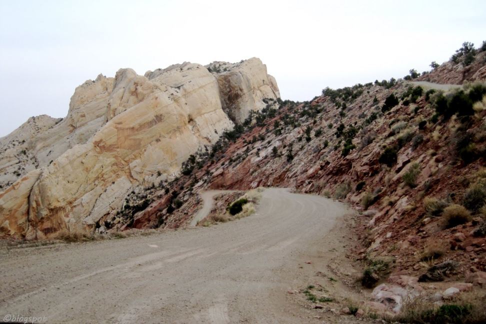
Burr Trail at the top of the switchbacks that cut down through Waterpocket Fold
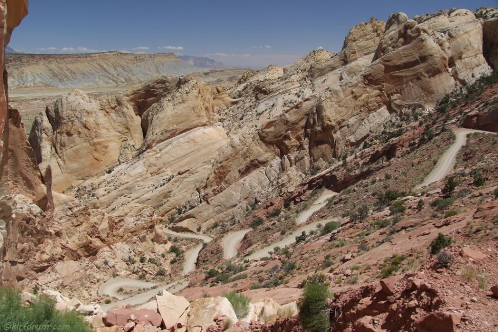
Burr Trail switchbacks through Waterpocket Fold
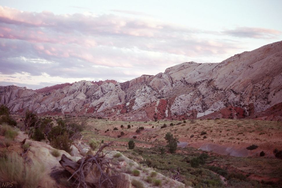
Sunset along Notom-Bullfrog Road
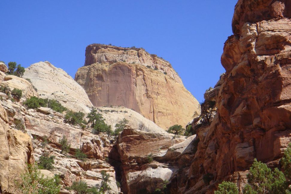
the Golden Throne, off Scenic Drive near Capitol Gorge
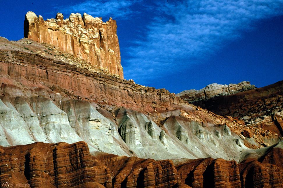
The Castle - a Capitol Reef National Park attraction
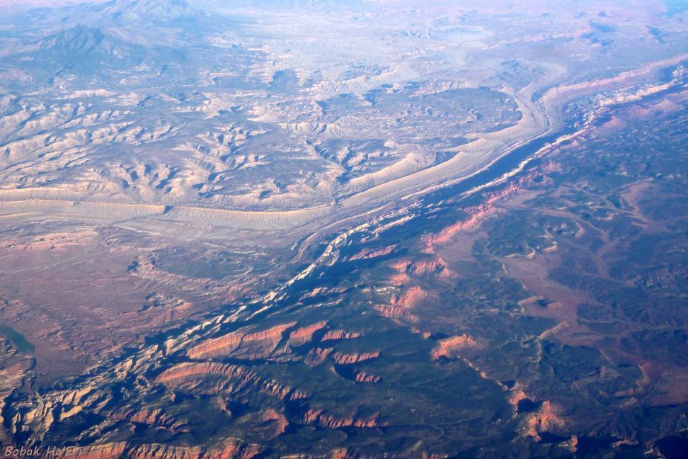
An aerial view of Waterpocket Fold including the S-bend
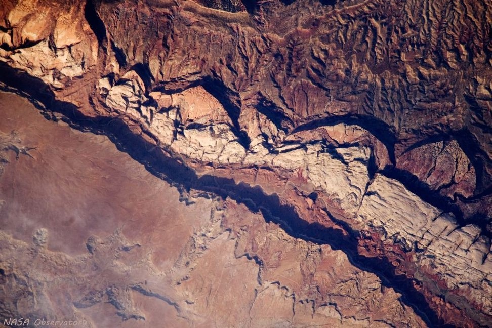
NASA Observatory photo of Waterpocket Fold from the International Space Station
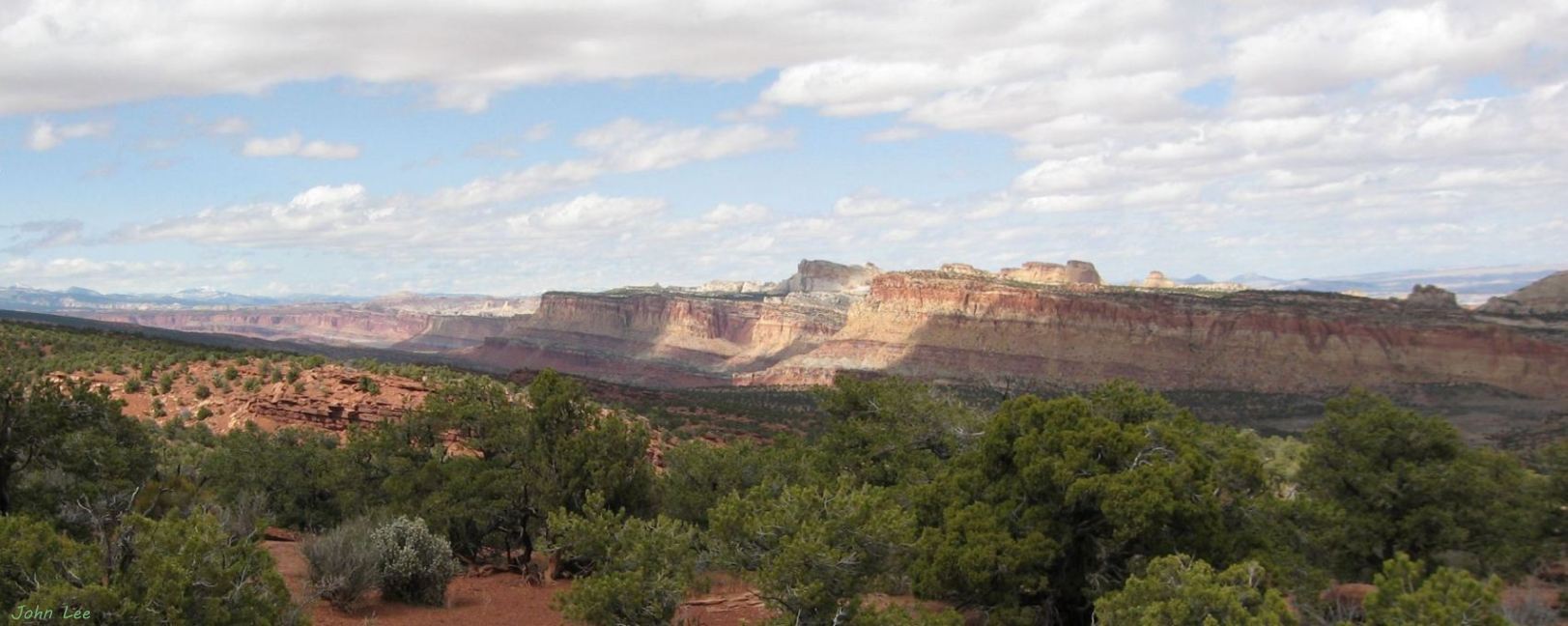
Panoramic view of the west face of Waterpocket fold
click the image for a large view of the panorama photo