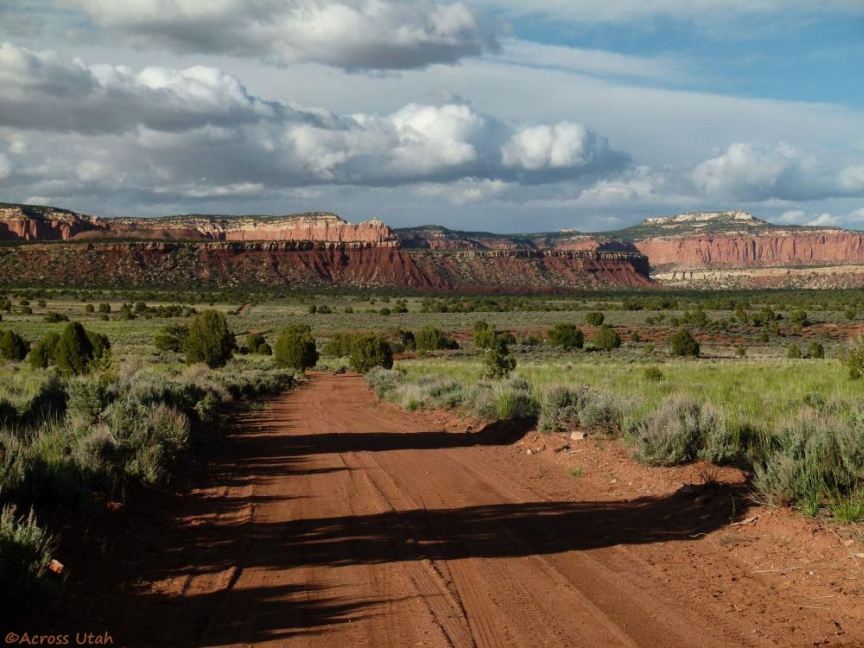
the Gulch, viewed from an unofficial camping area along the Burr Trail
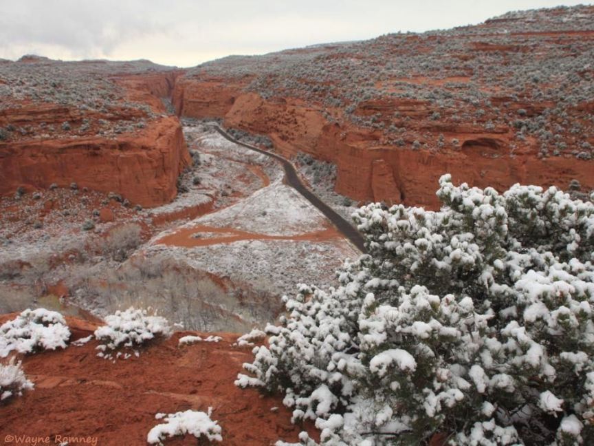
Long Canyon in winter (the banner photo) - check the weather before dropping into the canyon (flash foods kill!)
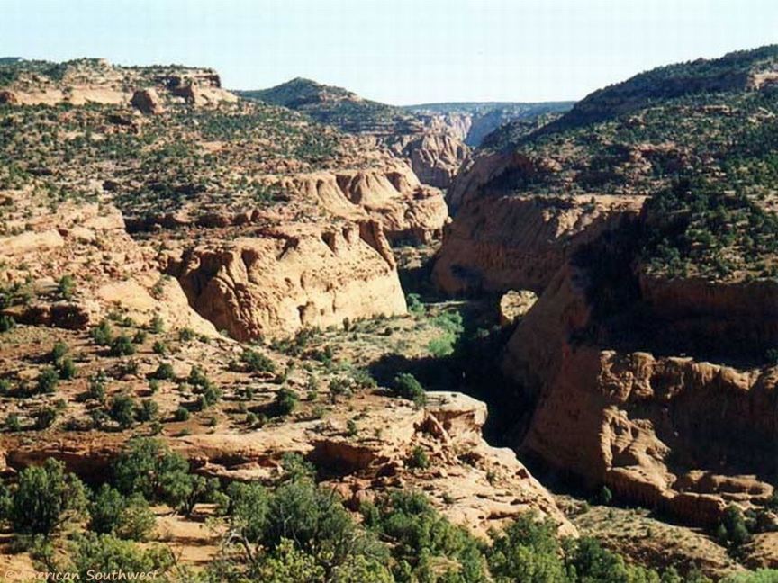
Another photo of Long Canyon on the Burr Trail
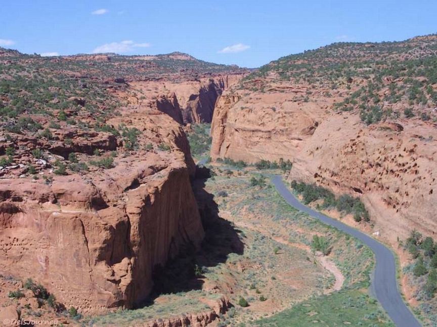
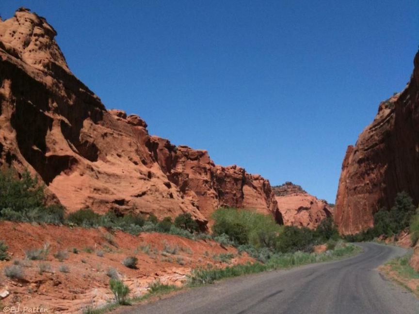
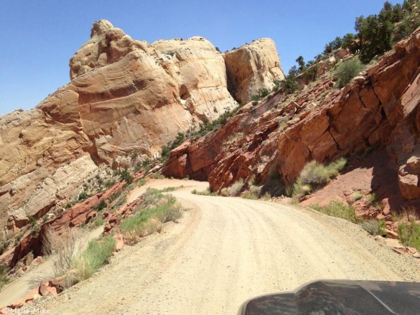
The Burr Trail inside Long Canyon
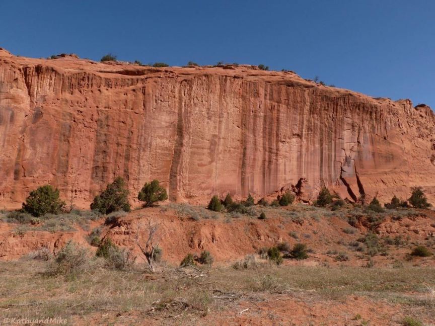
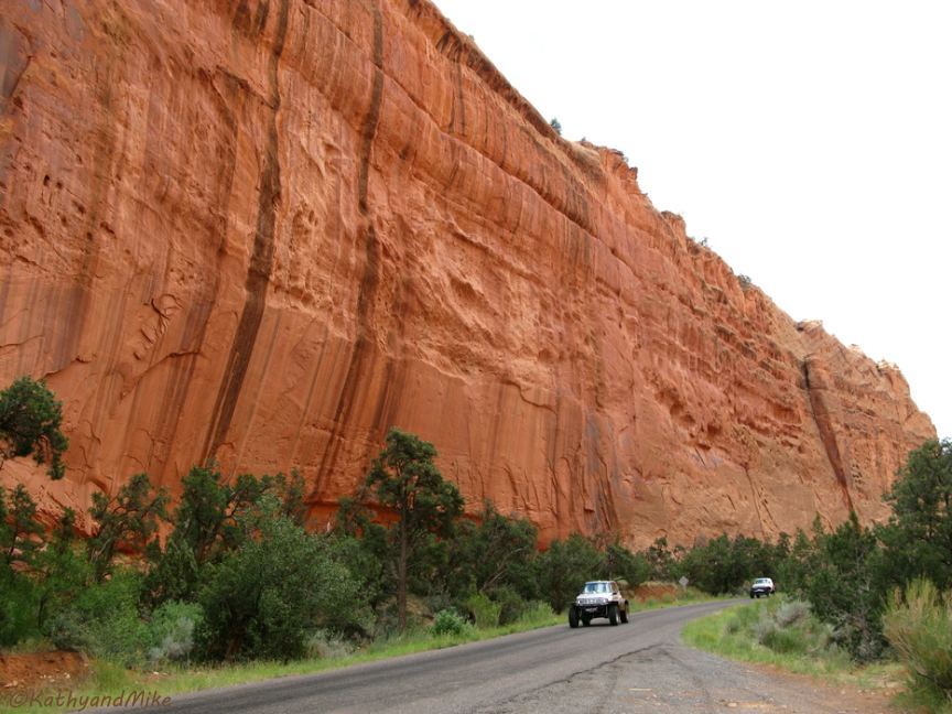
Long Canyon Wingate sandstone wall along the Burr Trail (the opposite side of the canyon from the previous photo)
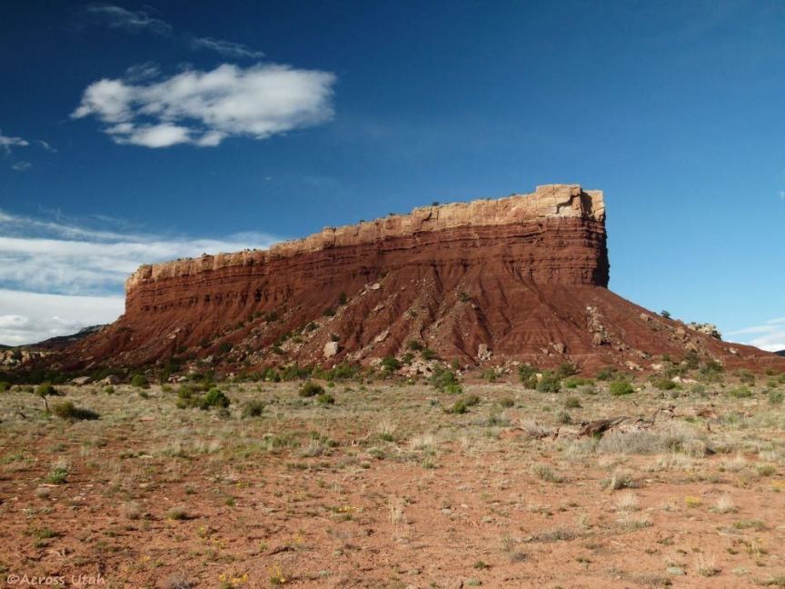
the Lamp Stand, 5 miles off the Trail on side roads at miles 18.5 and 24.3
Area geology
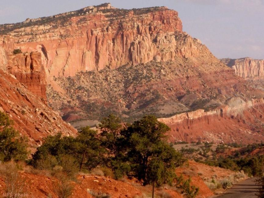
Waterpocket Fold geology
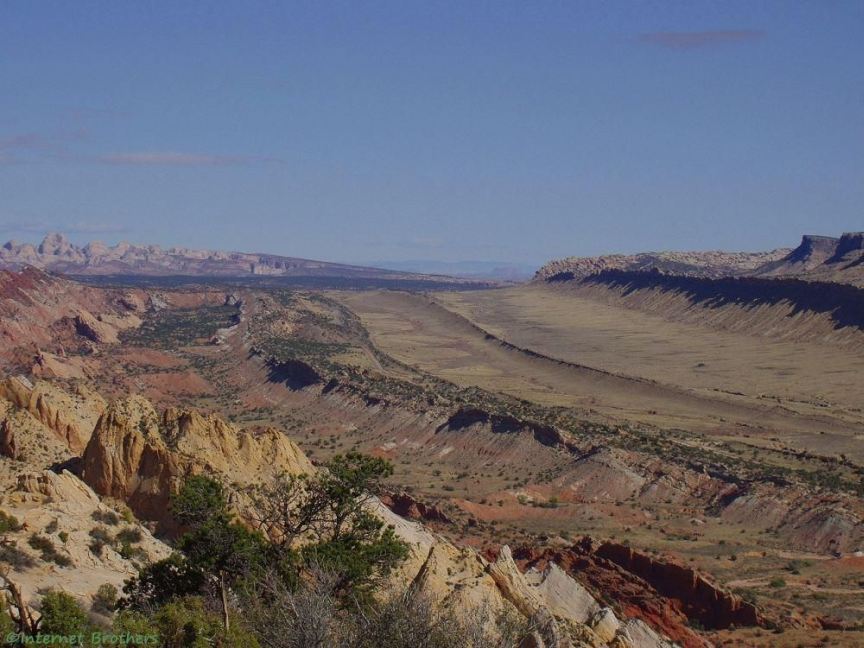
A view of Waterpocket Fold inside Capitol Reef National Park, viewed here from Miners Mountain
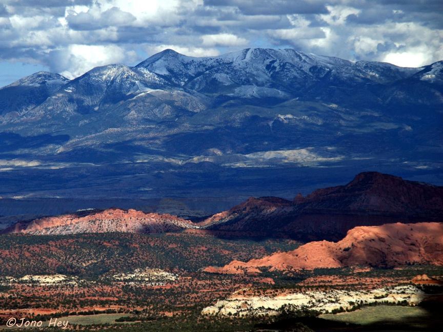
The five points of the Henry Mountains, viewed here from Boulder Mountain summit
Geology in front of Henry Mountains, author says the left one looks like a locomotive (photo title: locomotive rocks
)
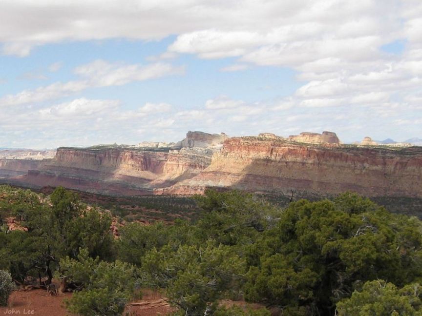
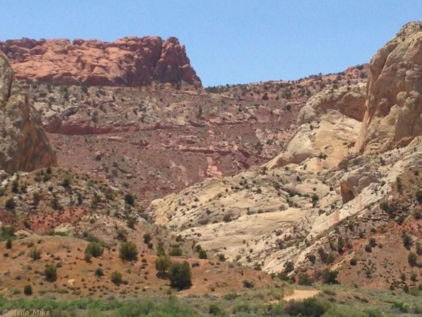
The area is surrounded by the Red Circle Cliffs geology, more than 60 miles in length north-to-south
Waterpocket Fold S-bend in Capitol Reef National Park, from a viewpoint on the Upper Muley Twist Canyon road
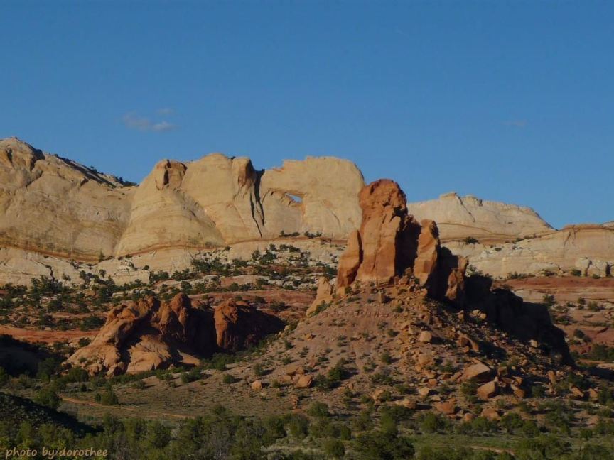
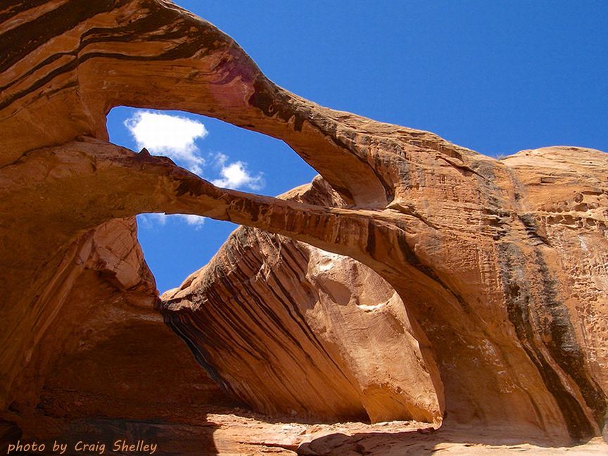
Peek-a-Boo Arch is visible at mile 33.4, junction with road to Upper Muley Twist Canyon
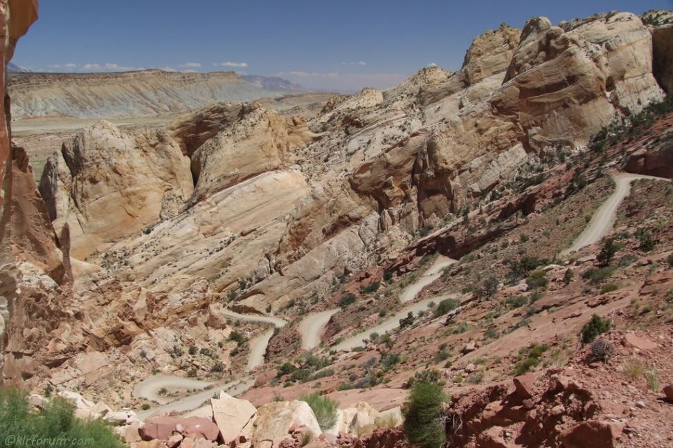
At the top of the waterpocket Fold switchbacks on the Burr Trail
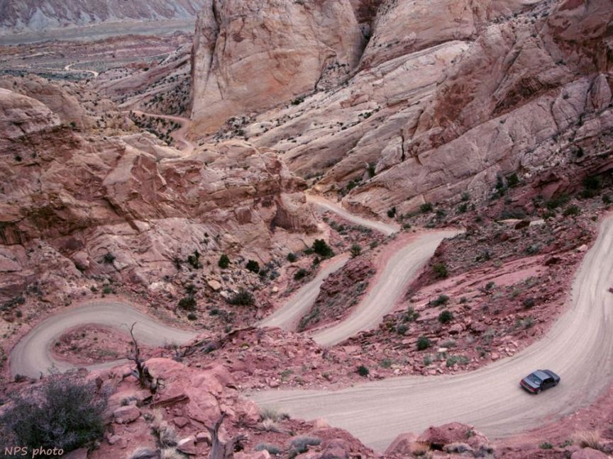
NPS photo from the top of the Burr Trail switchbacks in Capitol Reef National Park
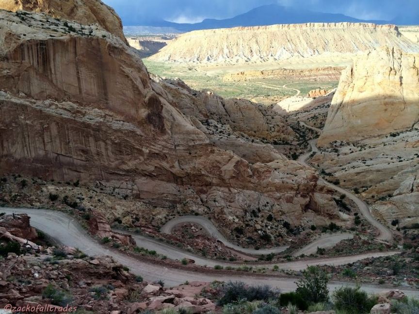
A side view of the switchbacks across/down Waterpocket Fold
A view through Burr Canyon, eroded through Waterpocket Fold, to Notom-Bullfrog Rd, from the top of the switchback
Looking back through Burr Canyon at the switchbacks climbing across waterpocket Fold
Brimhall double arch (also known as Brimhall Bridge) in the valley below Halls Creek Overlook