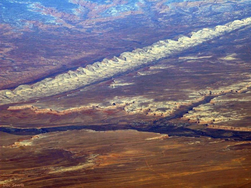
Aerial view of the top of Comb Ridge - its teeth
- with Bluff, Utah, in the canyon with the San Juan River
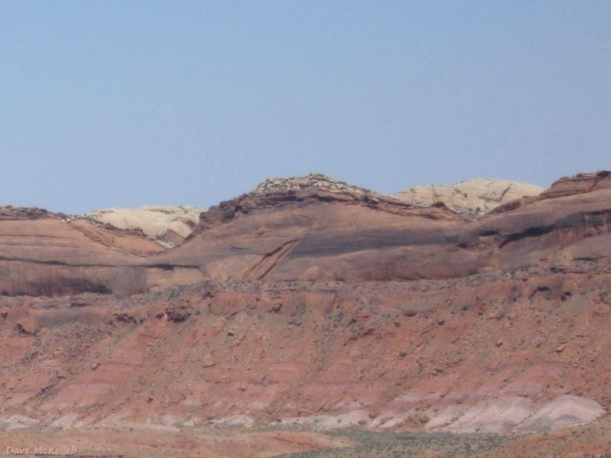
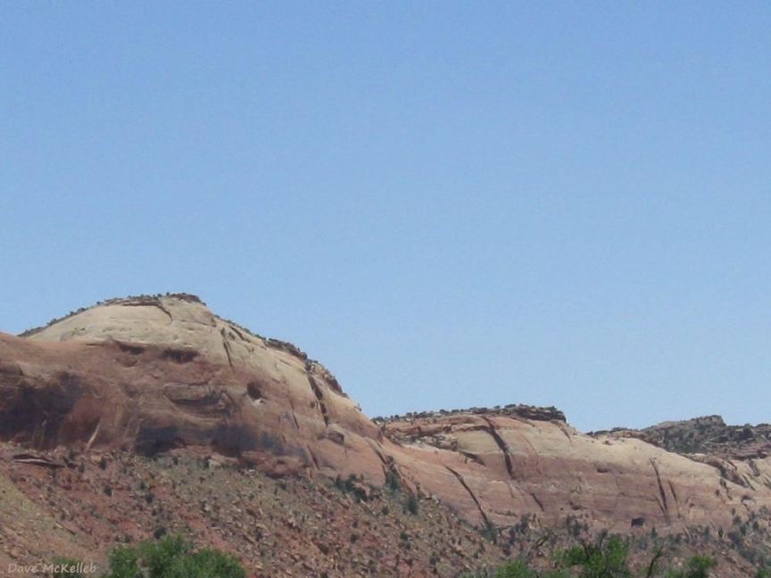
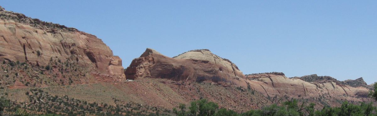
One of the many faces of Comb Ridge monocline as viewed from Scenic Byway 95
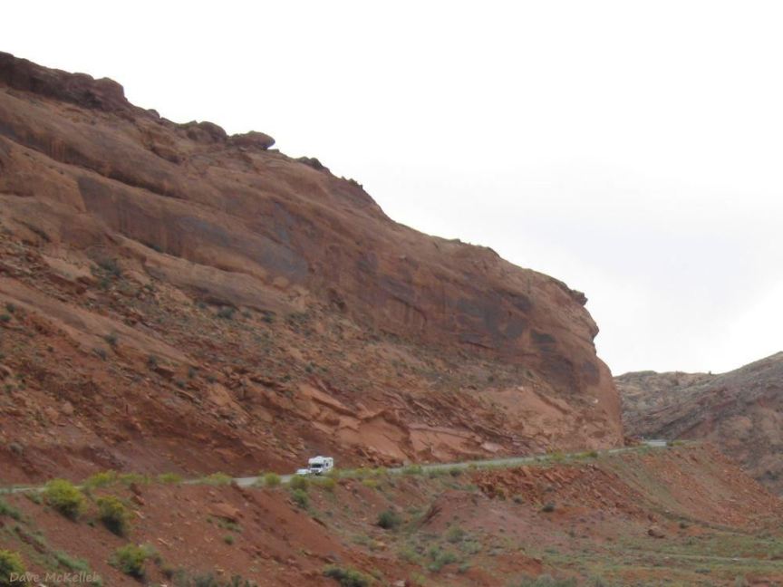
Scenic Byway 95 approaching its cut through Comb Ridge
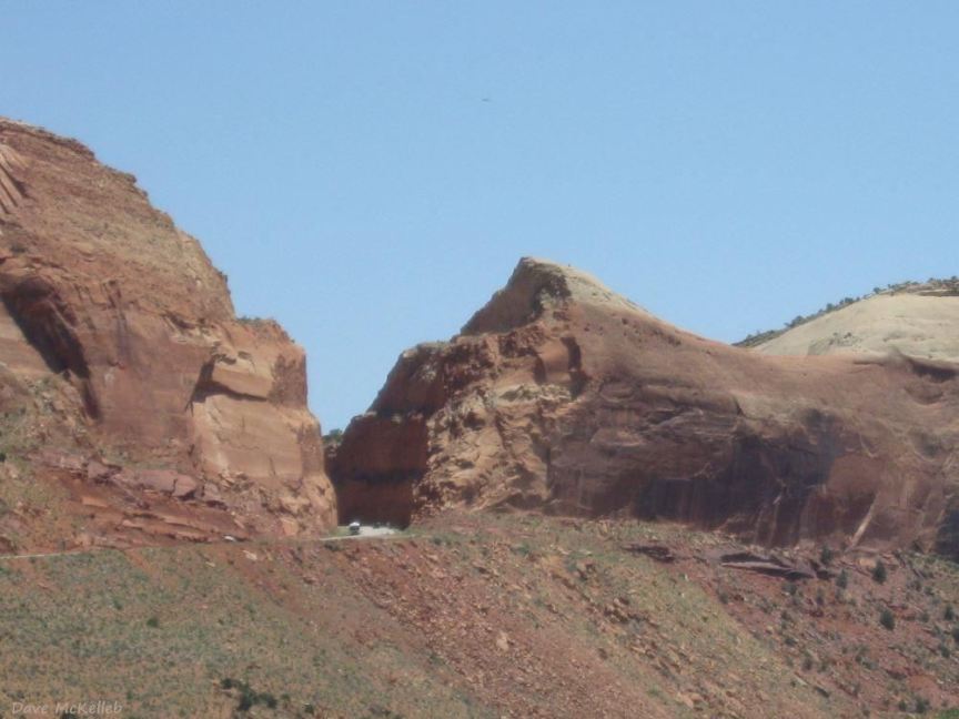
Scenic Byway 95 highway cut through Comb Ridge
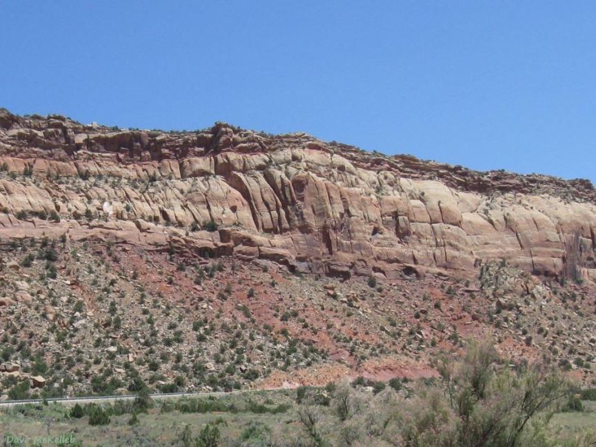
Comb Ridge immediately south of the U95 cut
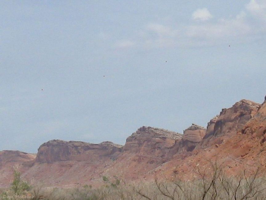
Comb Ridge close to the next photo, north of the US163 highway cut
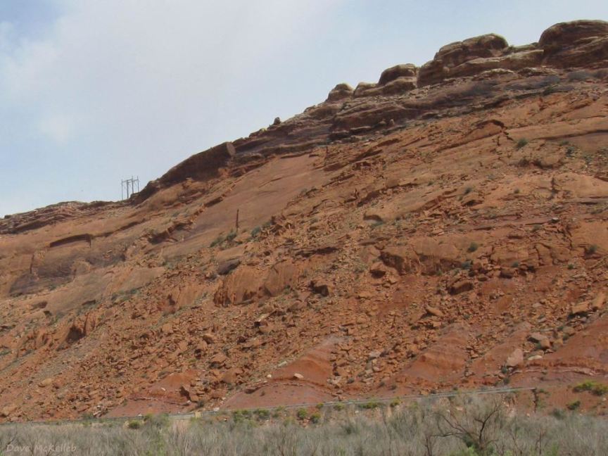
US163 approaching its cut through Comb Ridge
US163 highway cut through Comb Ridge
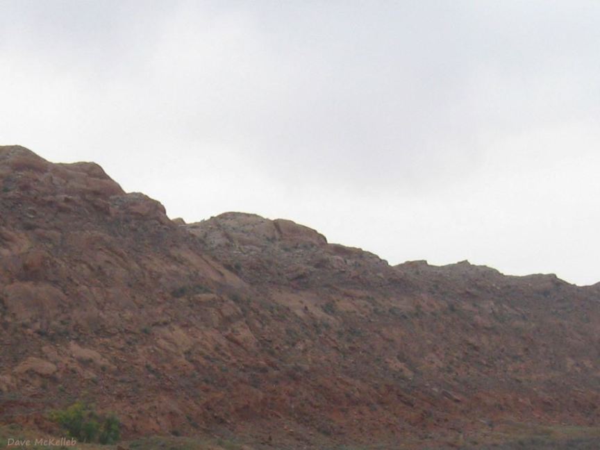
Comb Ridge south of the U163 highway cut, just north of the Navajo Nation border
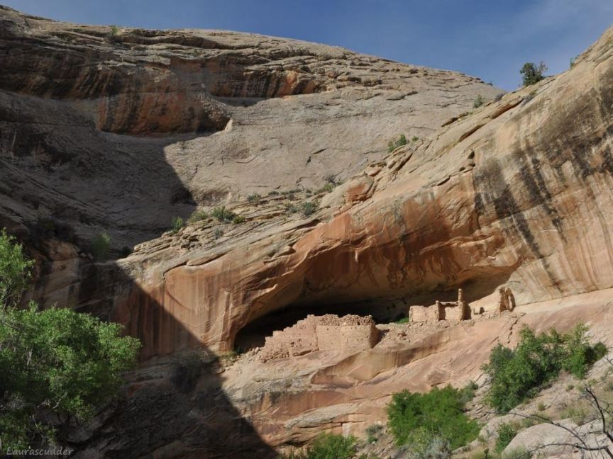
Monarch Cave cliff dwelling ruin in Comb Ridge, west then north of Bluff, Utah
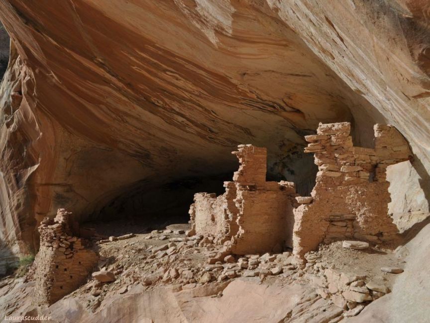
Closer view of the Monarch Cave ruin in Comb Ridge
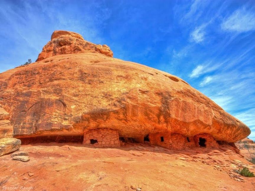
House on Fire
ruin, just up Mule Canyon from Comb Ridge, near Utah Scenic Byway 95
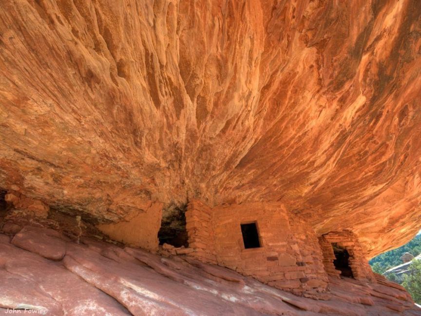
Closer view of the House on Fire
ruin
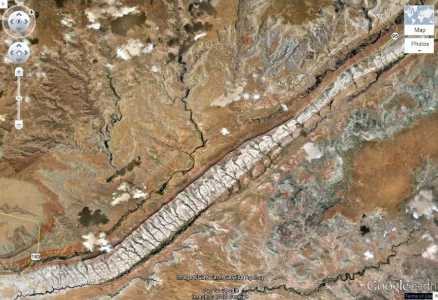
Satellite view of Comb Ridge showing its teeth,
not visible from the ground
Panoramic view of the Comb Ridge monocline at the Scenic Byway 95 highway cut
click the image for a large view of the panorama photo