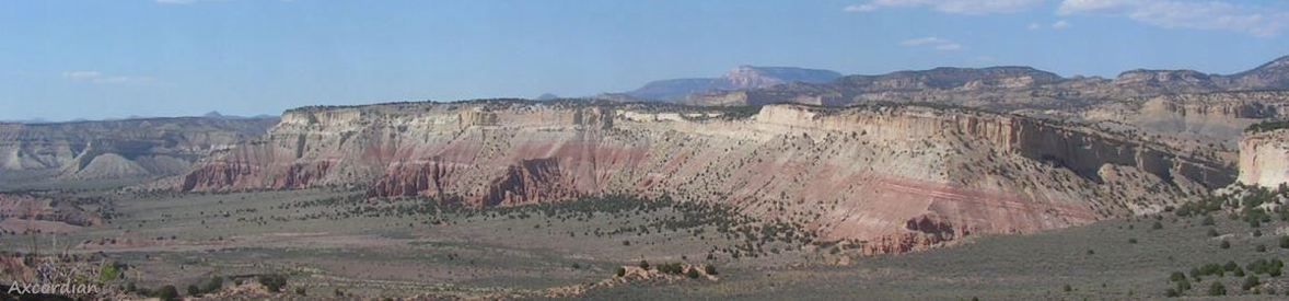
The Grand Staircase-Escalante National Monument
The Bureau of Land Management (BLM) is the federal agency that manages America's public landsThe Grand Staircase-Escalante National Monument is a political football, created on September 18,1996, by President Clinton, shrunk by nearly 47% on December 4, 2017, by President Trump, restored to its original size on October 8, 2021, by President Biden, then cut dramatically by nearly 91% by President Trump. The first paragraph below describes the Monument's creation, the second paragraph talks about the controversy caused by its creation. The current configuration excludes the Grand Staircase geologic formation, which is discussed in a separate article
The Grand Staircase-Escalante National Monument is huge - 1,880,461 acres (7,610 sq km), larger than the state of Delaware. It was created amid controversy (more about that later) by President Bill Clinton in 1966 using the Antiquities Act. The Monument includes part of the Grand Staircase, the Kaiparowits Plateau, and part of the Canyons of the Escalante, all in southern-central Utah. The Monument extends from the towns of Big Water, Glendale, and Kanab in the south and southwest, to the towns of Escalante and Boulder on the northwest, to Canyonlands Nat'l Park on the northeast, and Glen Canyon NRA on the east and south. The Monument encompasses private and state land and state parks, and county, state, and federal highways. Much of it is wild backcountry with geologic wonders seen only by backcountry hikers. The Monument is so large that it requires four visitors centers: in Connonville, Big Water, Escalante, and Kanab. The Monument is managed by the BLM. Creation of the Monument closed mining inside its borders, affecting Utah's economy.
Controversy. Grand Staircase-Escalante National Monument was declared in September 1996 at the height of the 1996 presidential election campaign by President Bill Clinton, and was controversial from the moment of creation. The declaration ceremony was held at Grand Canyon National Park in Arizona, not in the state of Utah. The Utah congressional delegation and state governor were notified only 24 hours in advance. Particular to the controversy is the seizure of School and Institutional Trust Lands granted in 1896, and protected local roads covered by R.S.2477. Dirt roads in the Monument are highly disputed, with Kane County officials placing Kane County signs on roads they claim and occasionally using bulldozers to grade claimed roads, while the BLM tries to exert control over the same roads. And there was a question as to whether the Antiquities Act provided the necessary authority to create a national monument. Bill Clinton created it by presidential decree, partially in retribution to Utah for coming in third behind H. Ross Perot in the 1992 election, and partially to gain ground in swing-state Arizona (he won Arizona by 2.2%). Resolution of this dispute is unlikely to happen anytime soon - probably years, if ever.
Monument map 1 is the original BLM map that comes from the BLM's Monument brochure that no longer exists; it is difficult, if not impossible, to read.
Monument map 2, an unofficial map, lacks the texture of the official map and is easy to read.
BLM Overlay map is a slide show of maps of the four versions of the momument.
GSENM Geology is a huge PDF document from the Utah Geological Association with an in-depth discussion of the geology of the National Monument (43 pages, on our server - may take a few seconds).
Grand Staircase opens an article on the geologic formation.
Photo gallery opens the gallery page of photos in the Monument, with an auto-show of the photos.