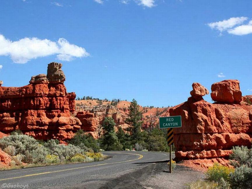
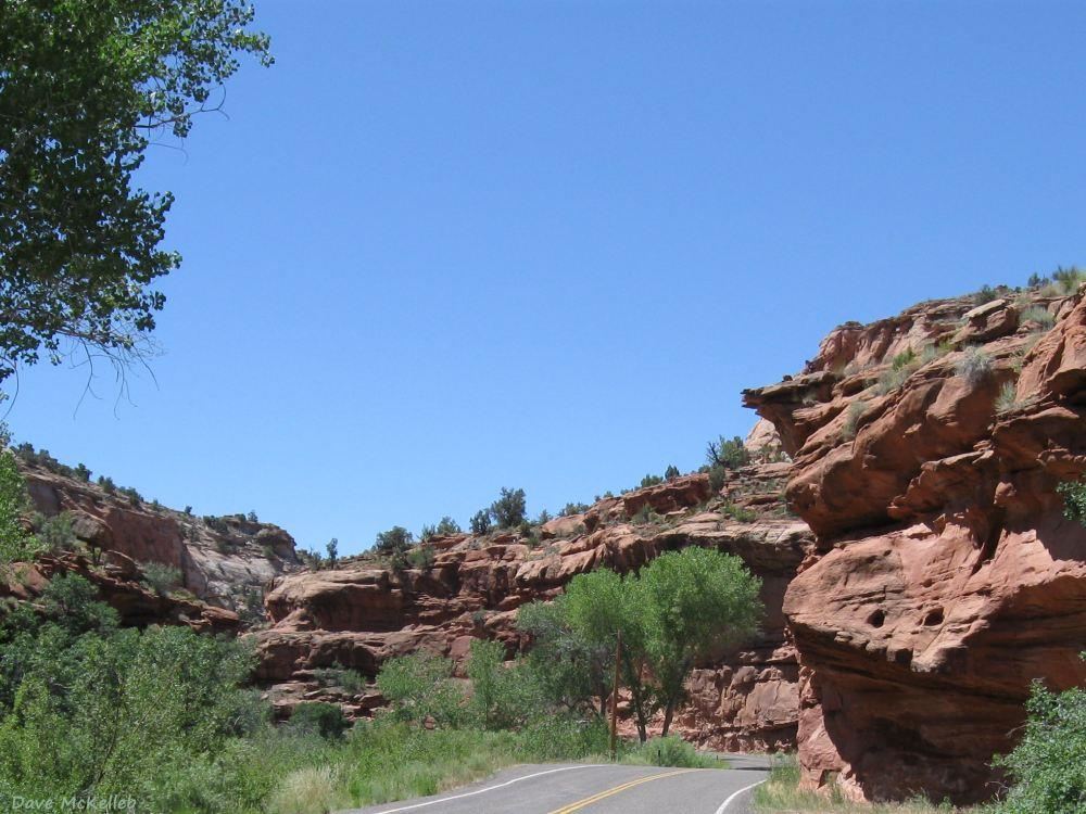
Scenic Byway 12 enters Red Canyon three miles from its western end at US89
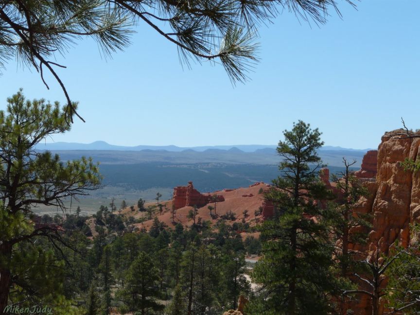
Scenic view from one of many trails, this one over the top of the Red Canyon Visitor Center
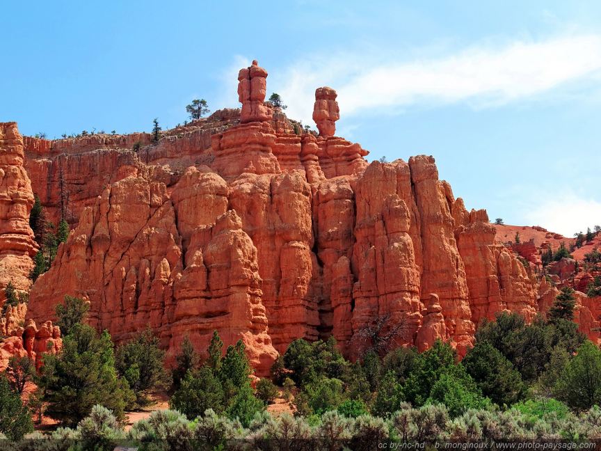
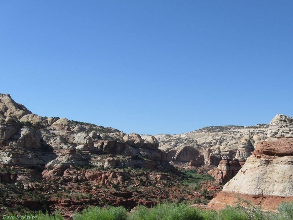
Hoodoos
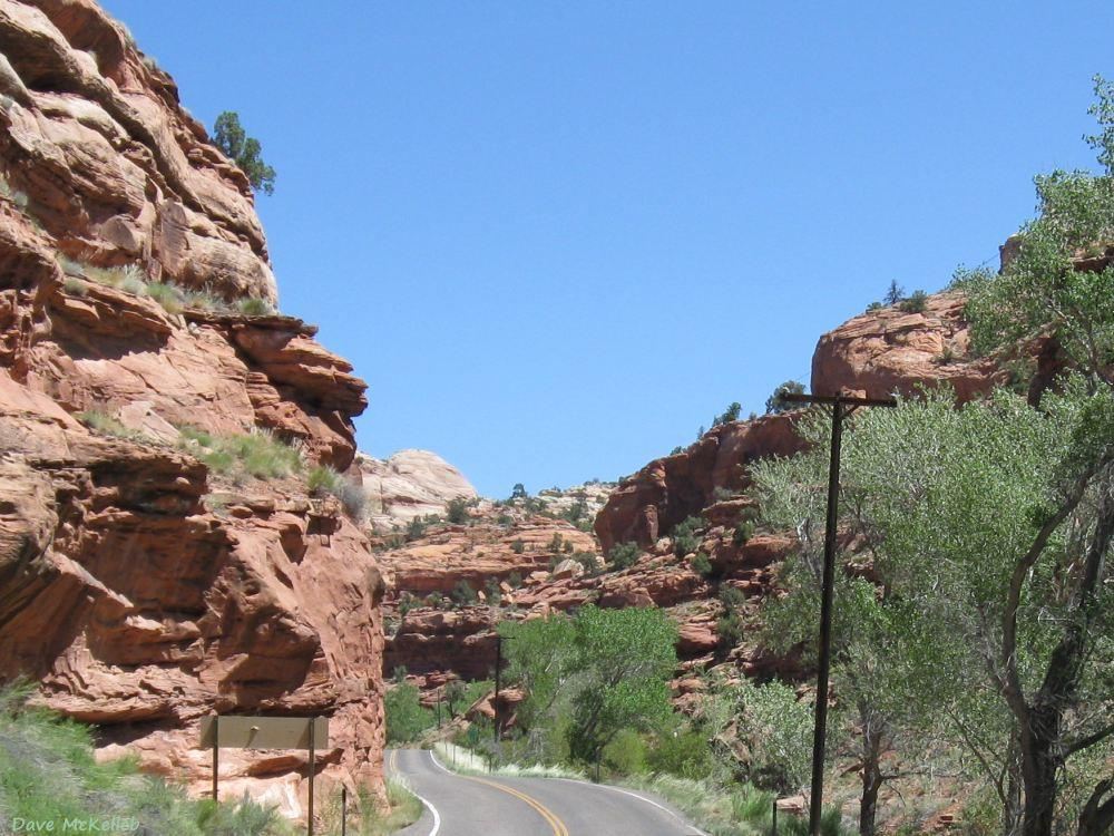
in a scenic view in Red Canyon along U12
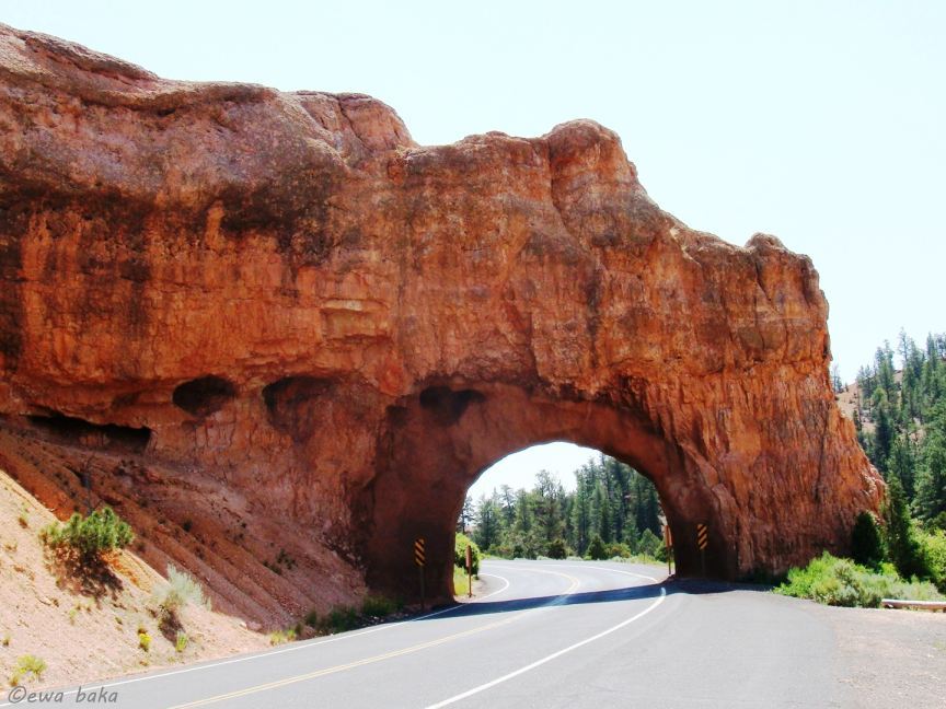
Red Canyon tunnel 1 on Scenic Byway 12
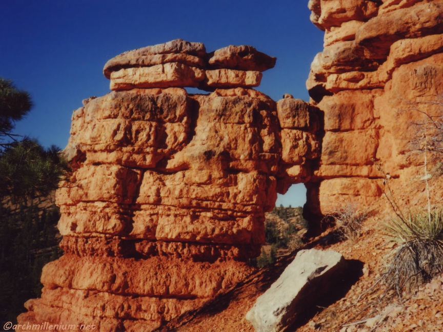
Arch in Red Canyon, estimated height by author is 20 ft (6 meters)
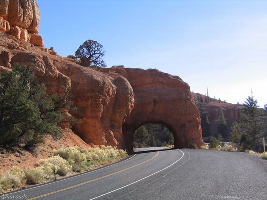
Scenic Byway 12 through Tunnel 2 in Red Canyon
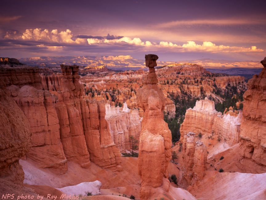
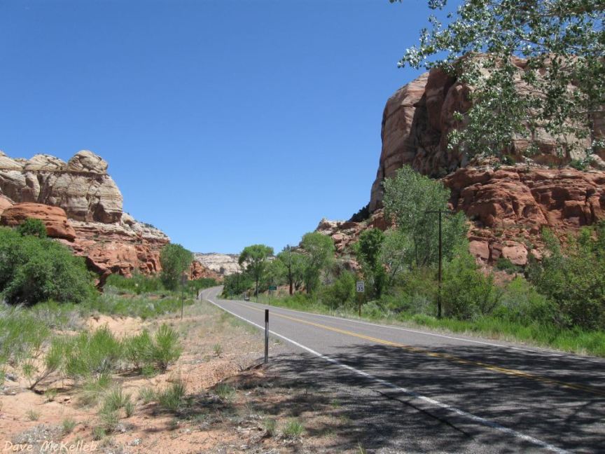
Bryce Canyon photo 1; Bryce Canyon is 14 miles east of the US89 junction
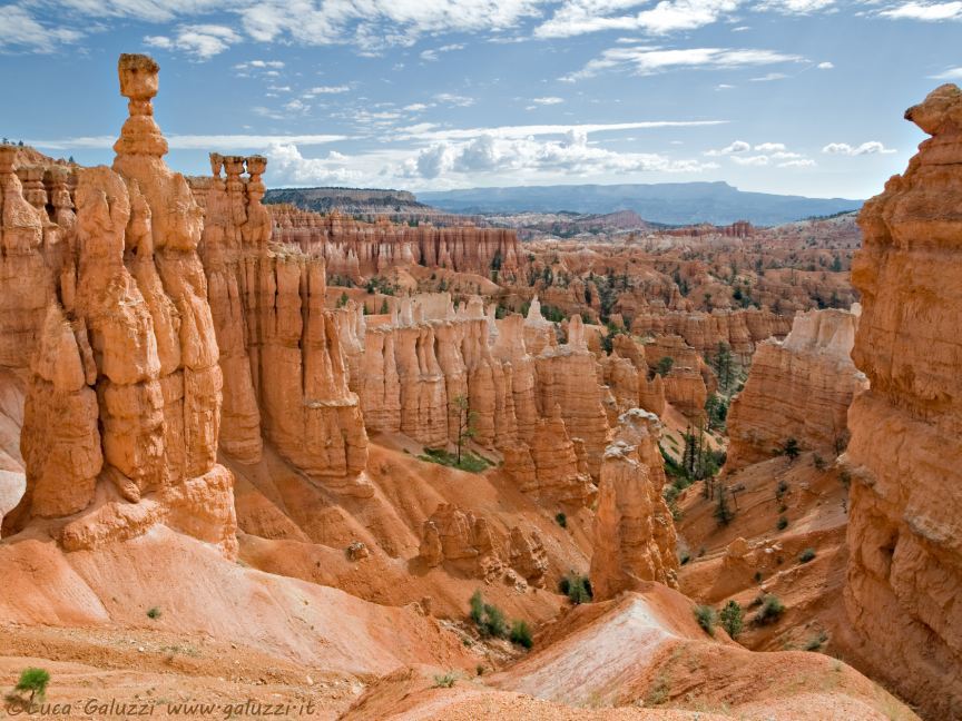
Photo 2 in Bryce Canyon National Park
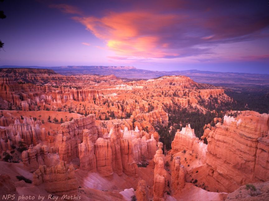
Photo 3 in Bryce Canyon National Park
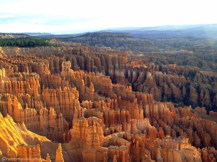
Photo 4 in Bryce Canyon National Park
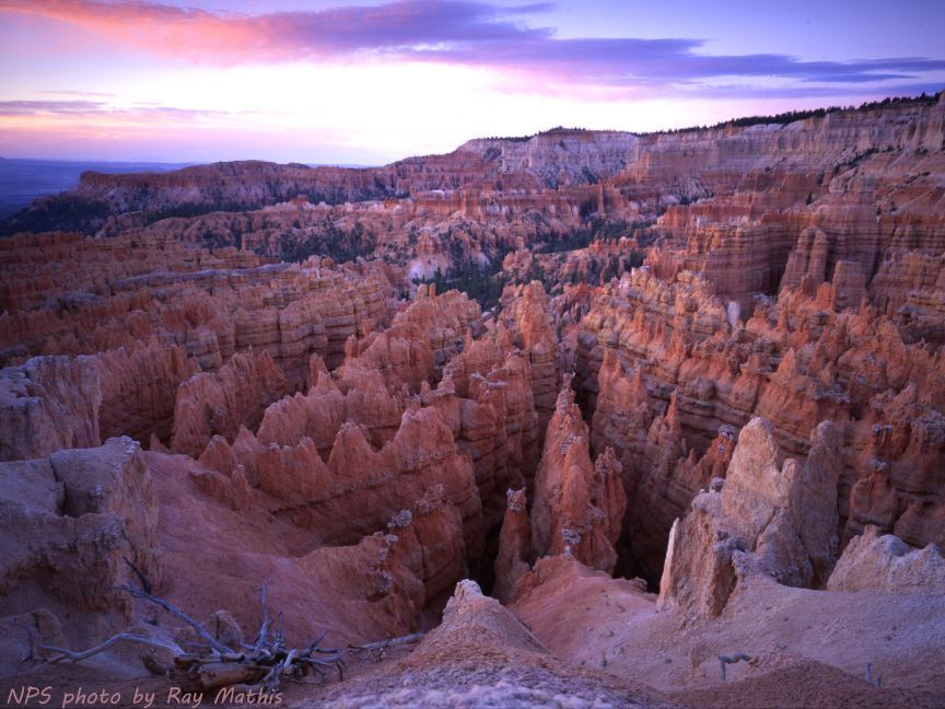
Photo 5 in Bryce Canyon National Park
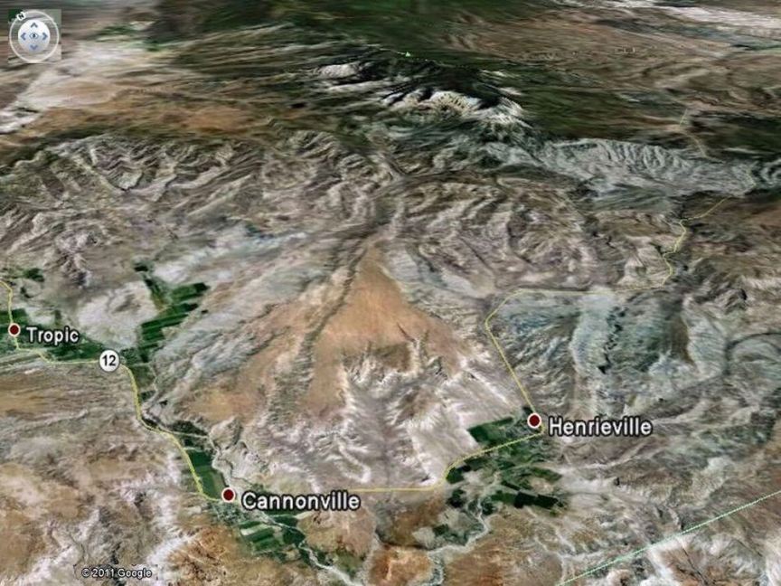
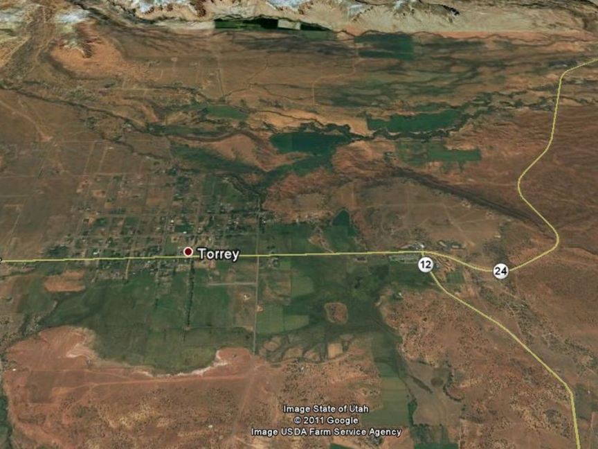
Google Earth satellite map of U12 between Bryce Canyon and Escalante
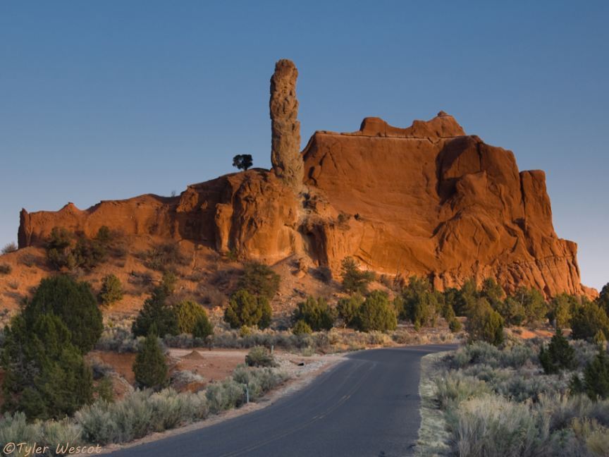
Photo in Kodachrome Basin State Park, 7 miles south of Cannonville
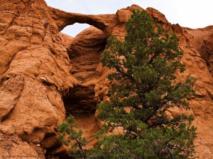
Shakespeare Arch in Kodachrome Basin State Park
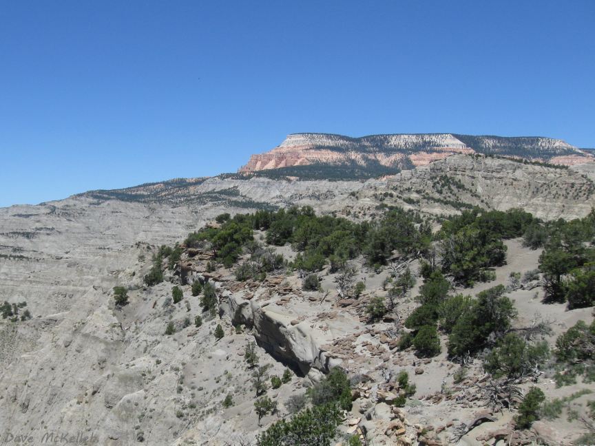
Powell Point above the Blues from the Powell Point Overlook
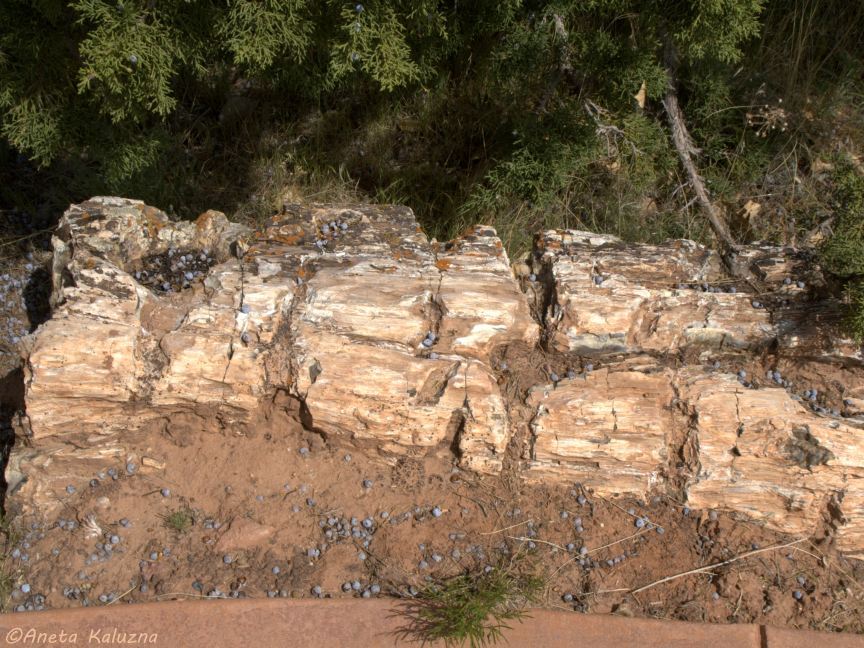
Petrified wood in Escalante Petrified Forest State Park
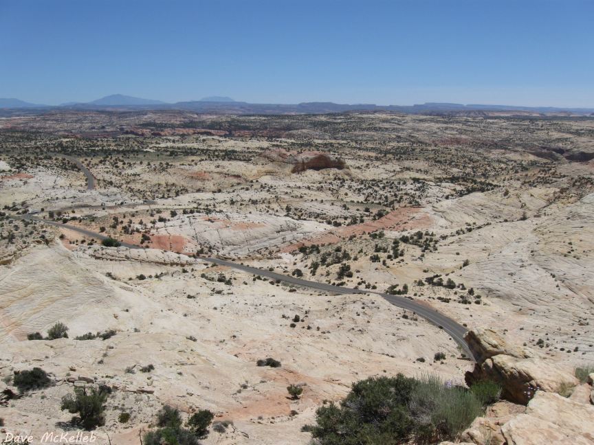
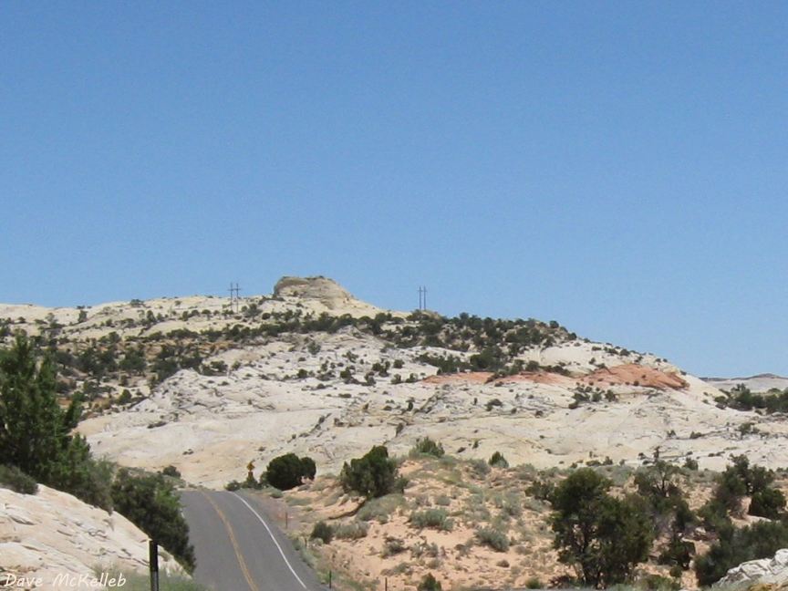
U12 hill on the slickrock, on the Aquarius plateau
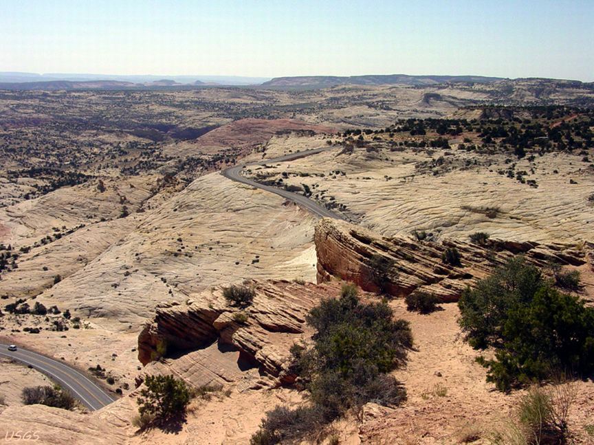
A different view of U12 dropping down the hill on the slickrock
A view across the slickrock toward the Henry Mountains
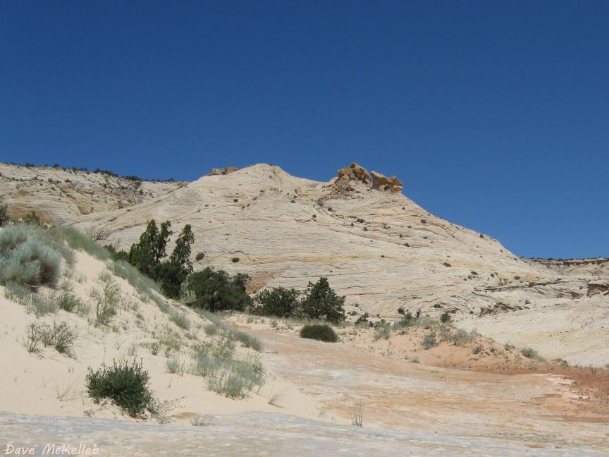
A slickrock (petrified) sand dune next to a live one
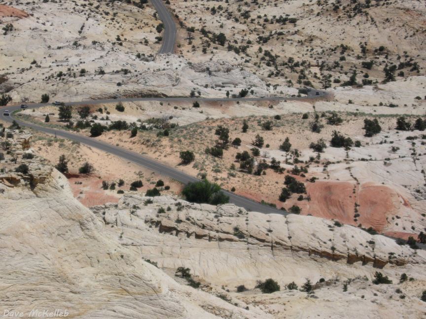
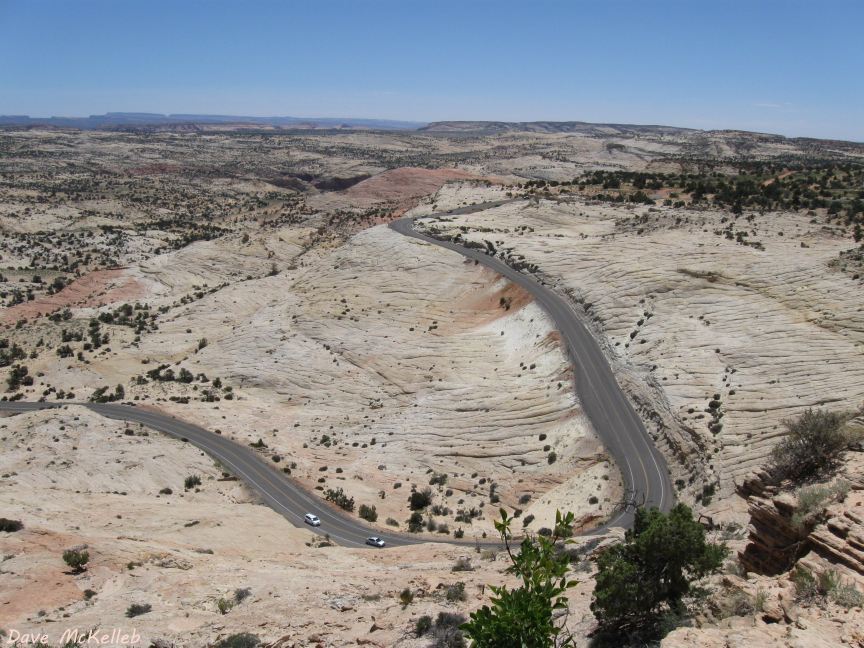
Scenic Byway 12 S-curve in the slickrock
Huge petrified sand dune inside the S-curve
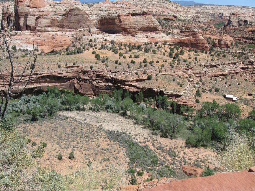
Escalante Canyon, from Boynton Overlook
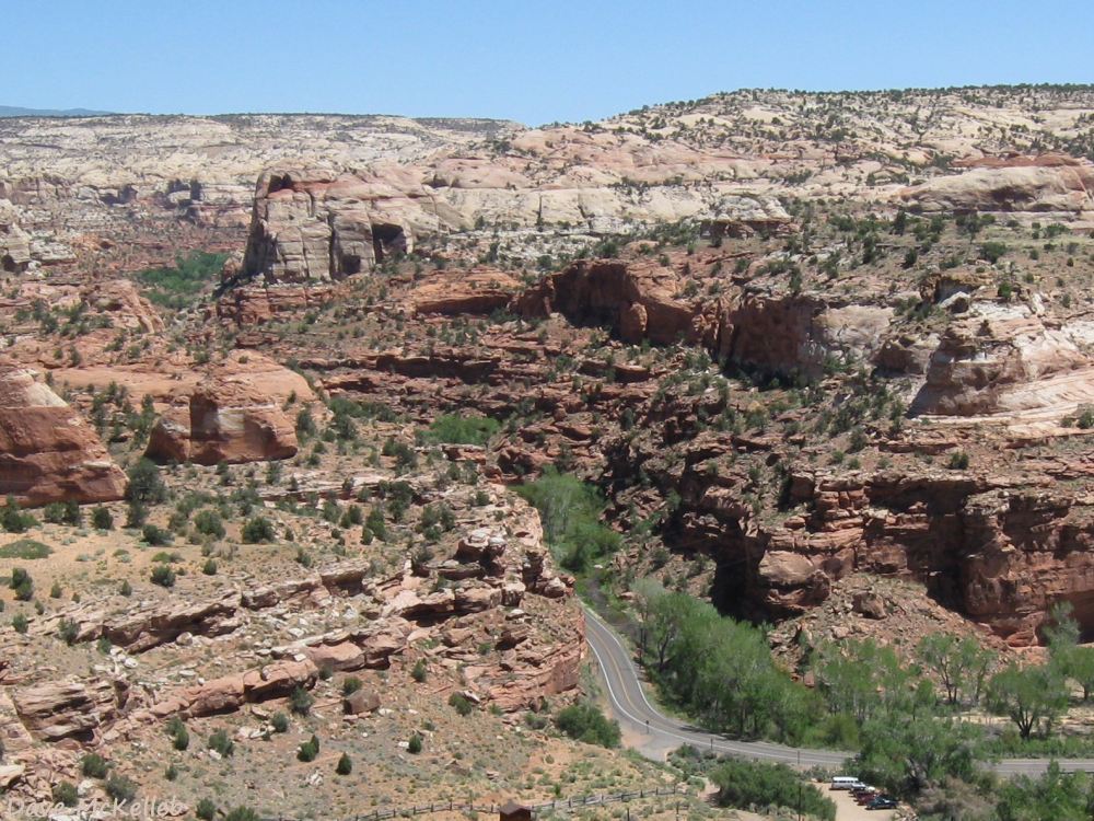
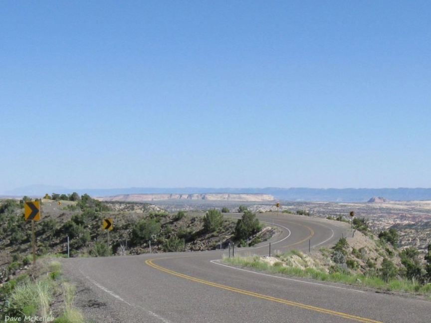
Scenic Byway 12 turning into Calf Creek Canyon from Escalante Canyon
Scenic Byway 12 inside scenic Calf Creek Canyon View 1
Scenic Byway 12 inside scenic Calf Creek Canyon View 2
Scenic Byway 12 inside scenic Calf Creek Canyon View 3
A view into Calf Creek Canyon from the highway
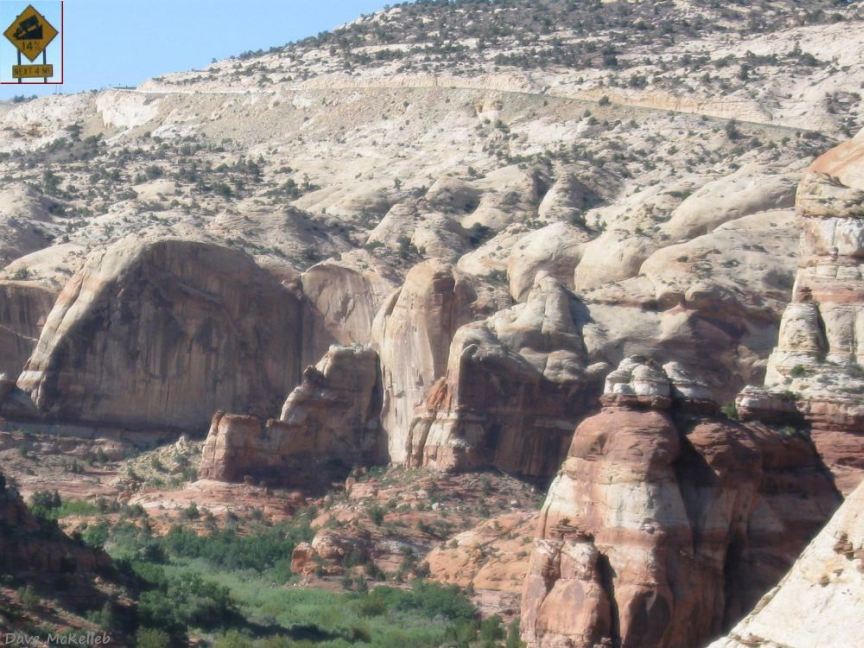
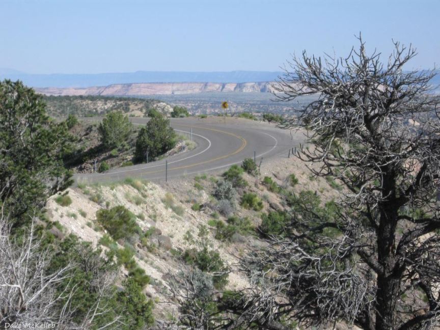
Climbing out of Calf Creek Canyon - note the inset of the caution sign at the top of the hill
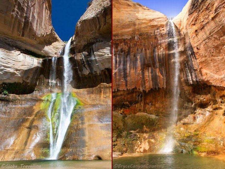
Lower Calf Creek Falls on the left, Upper Falls on the right, more info in the Calf Creek Canyon article
On Top of the World!
- Scenic Byway 12 on a narrow hogback with Durfey Mesa and Henry Mountains on the horizon
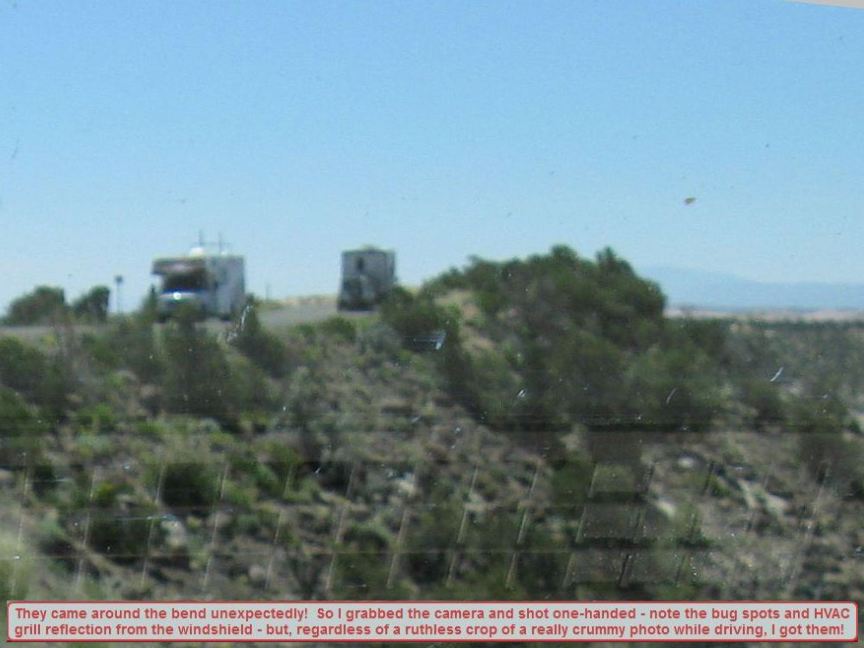
RVs on the hogback in a messy photo - select the pause button for more time to read the caption; then select resume
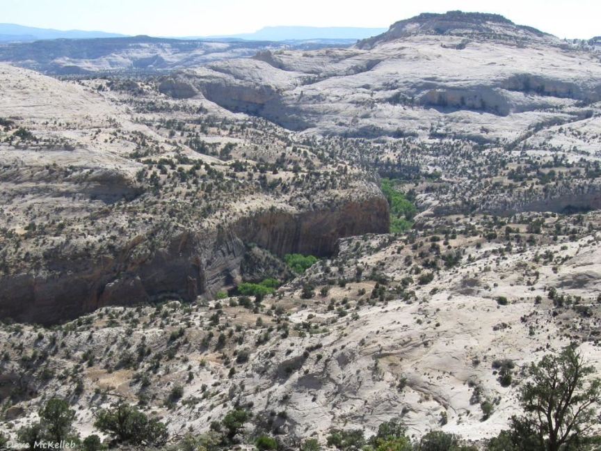
View from a pullover into the rugged wilderness of Calf Creek Canyon
Transition from Haymaker Bench onto New Home Bench, Scenic Byway 12 on the hogback
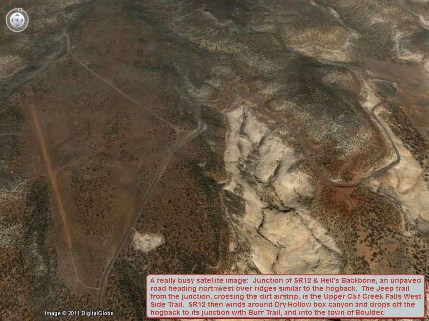
Google Earth satellite view of the north end of the hogback (select pause to read the caption, then the resume button)
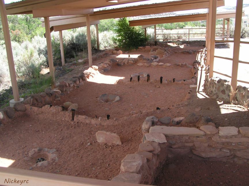
Native American Ruins at Anasazi State Park and Museum in Boulder
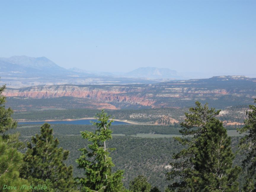
Lower Bowns Reservoir in front of Waterpocket Fold, view from Boulder Mountain Summit
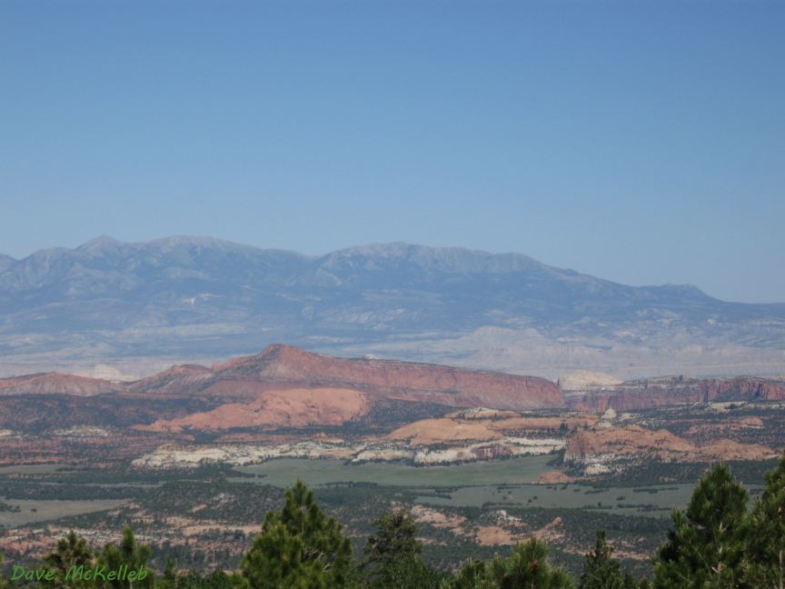
Waterpocket Fold in Captiol Reef National Park, Henry Mountains in the background
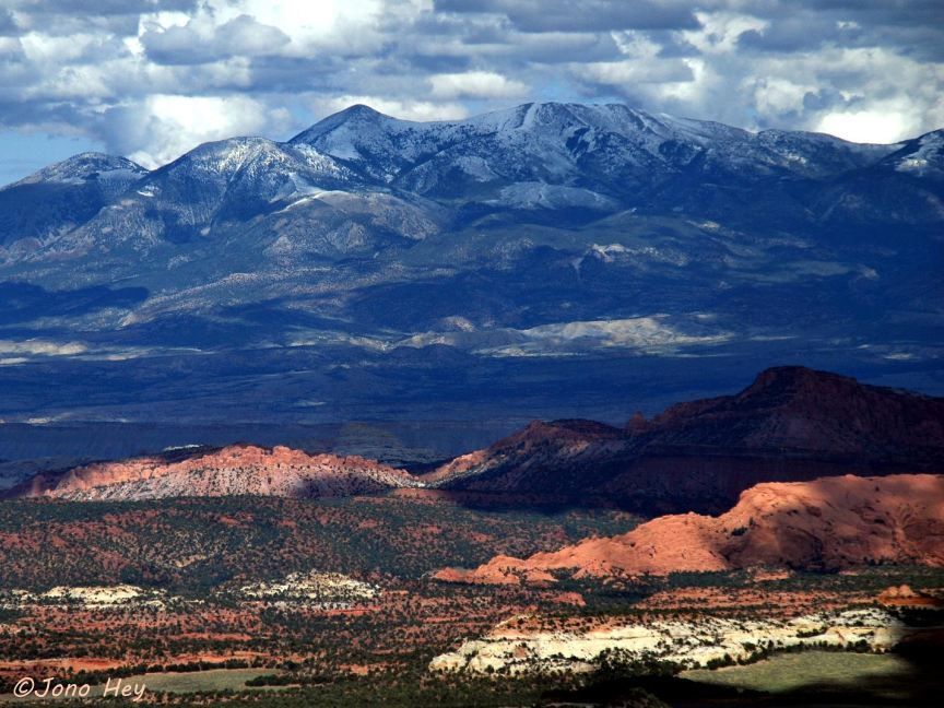
Five points of Henry Mountains in June, Waterpocket Fold in the foreground
End of Scenic Byway 12 at its junction with U24, Capitol Reef National Park is 5 miles east on U24