Comb Ridge south of the SB95 highway cut, a panorama photo is available at the end and in the gallery
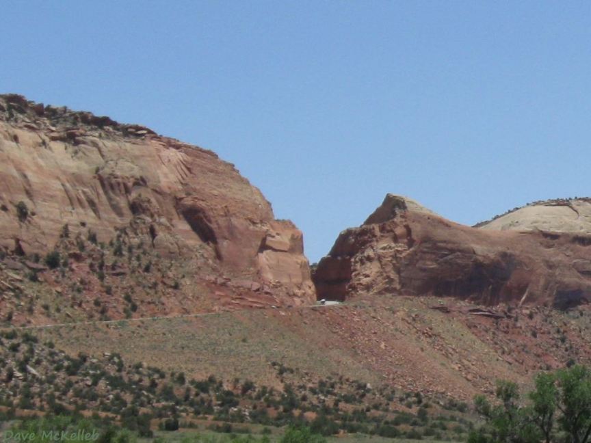
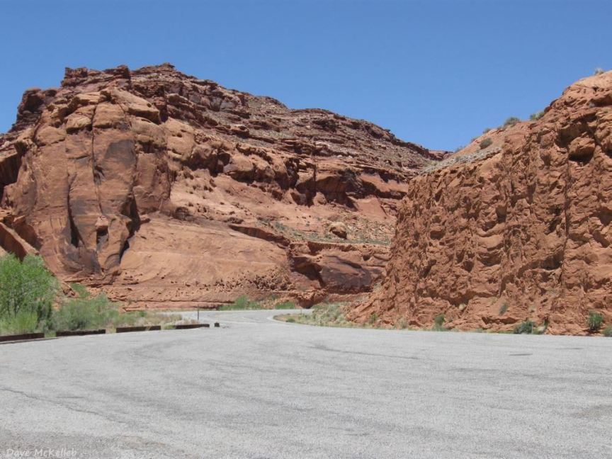
Scenic Byway 95 highway cut through Comb Ridge
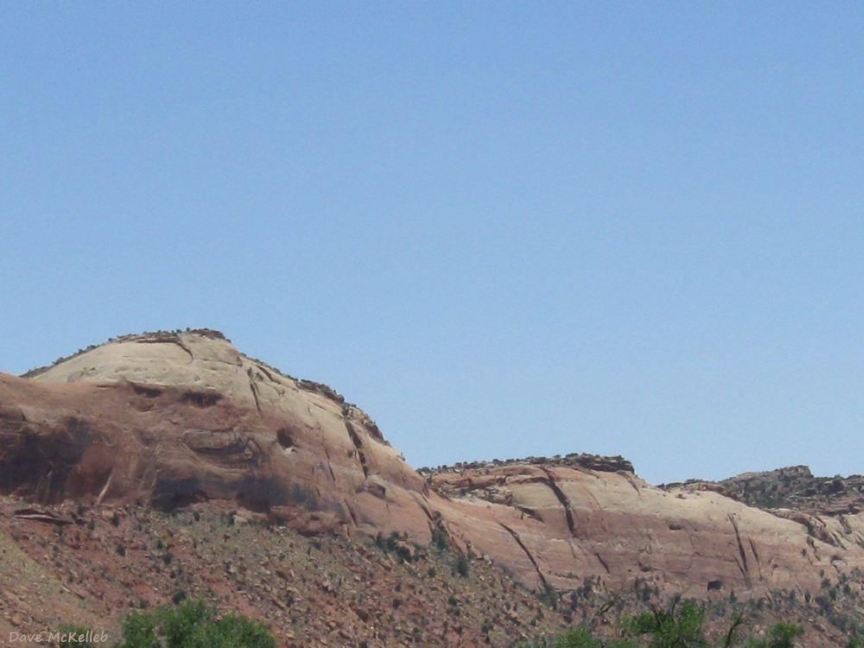
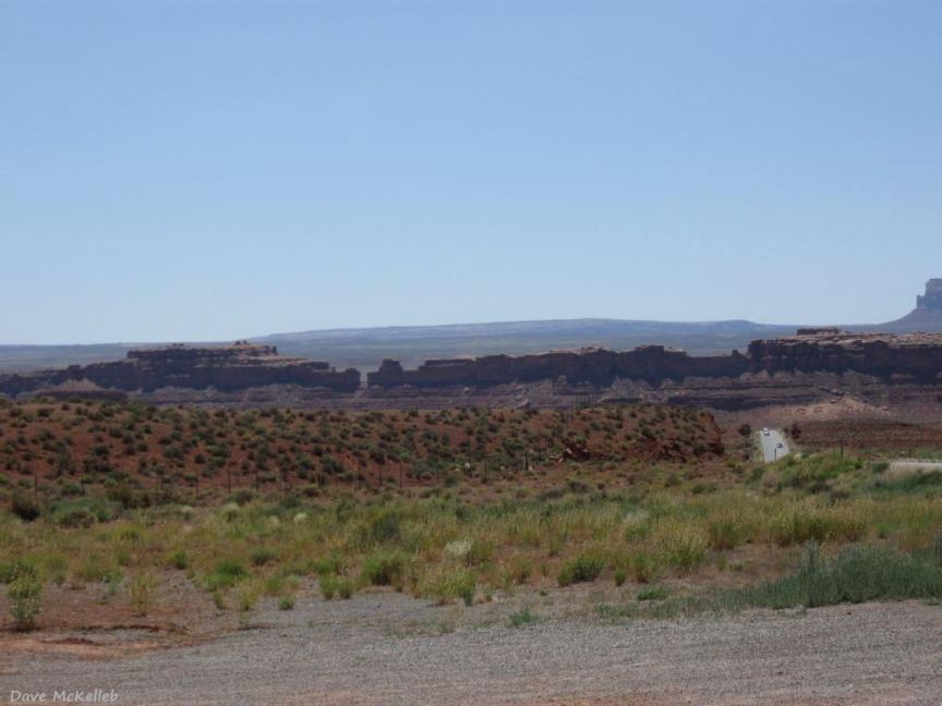
One of the many faces of Comb Ridge monocline as viewed from Scenic Byway 95
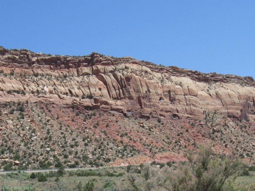
Another of the many faces of the Comb Ridge Monocline
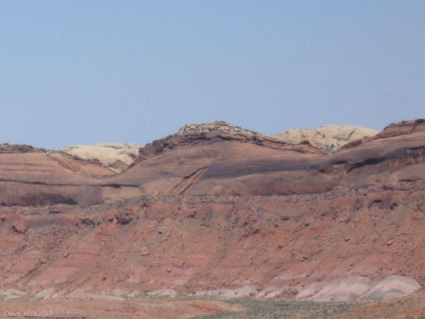
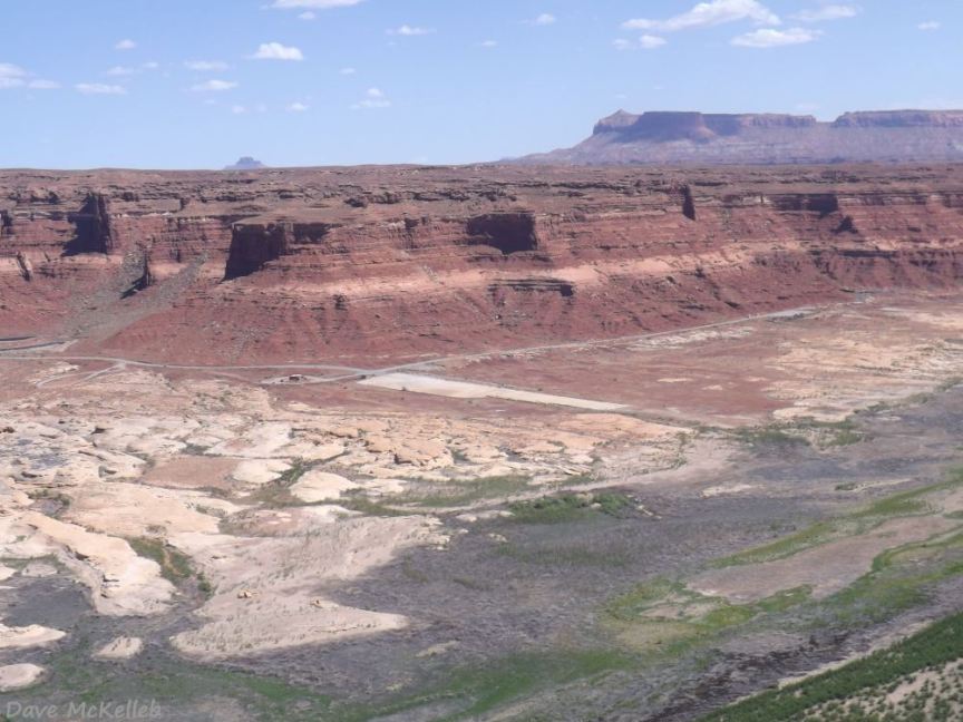
Looking over SB95 toward Arch Canyon and Hotel Rock, from near Comb Ridge
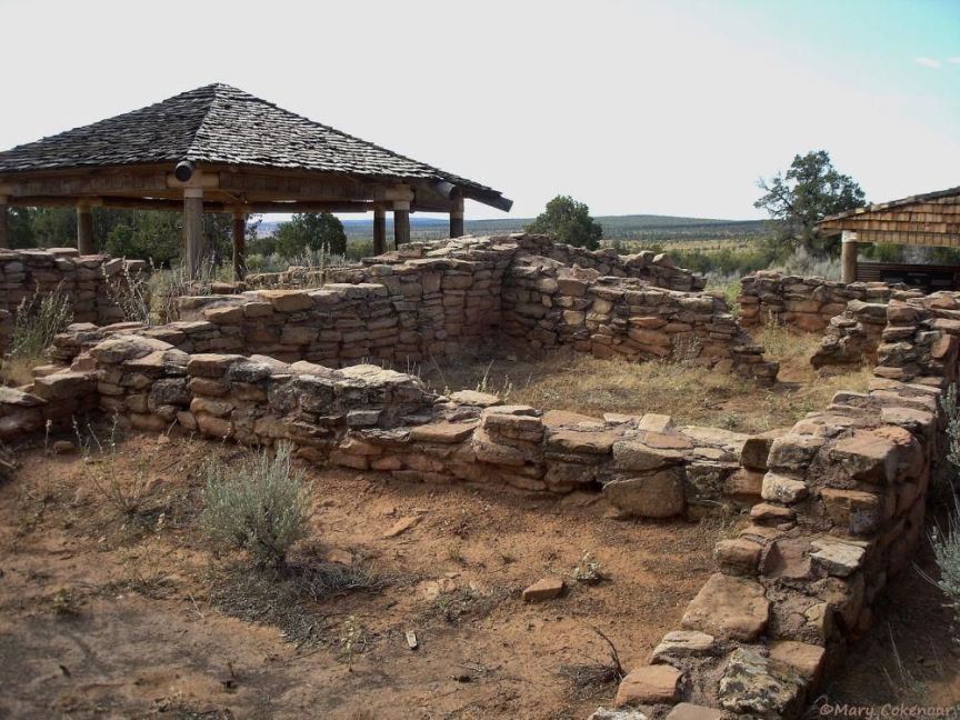
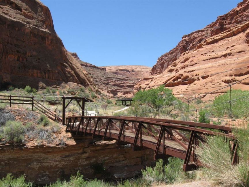
Restored Mule Canyon ruins, 20 miles southwest of Blanding between MM 102-101 on SB95
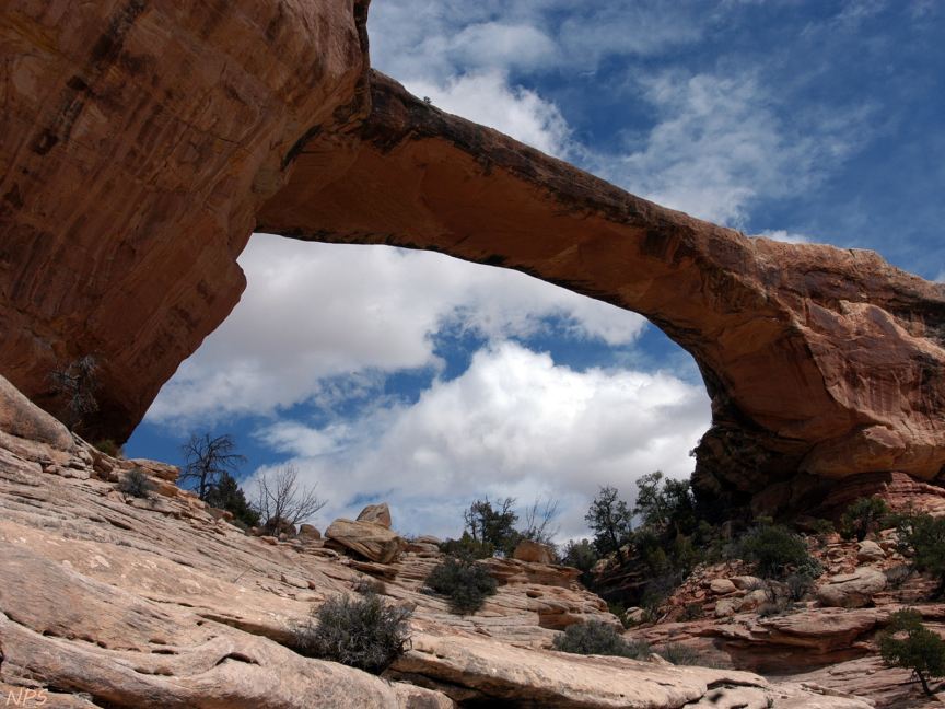
Owachomo Natural Bridge, looking up at it from the canyon
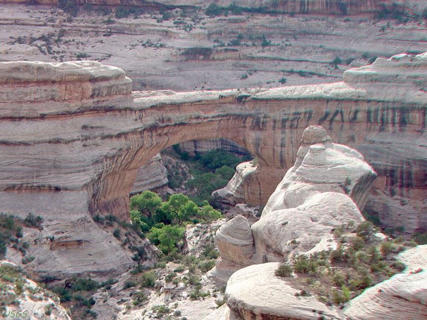
Sipapu Bridge, the middle-aged bridge of the three bridges in the national monument
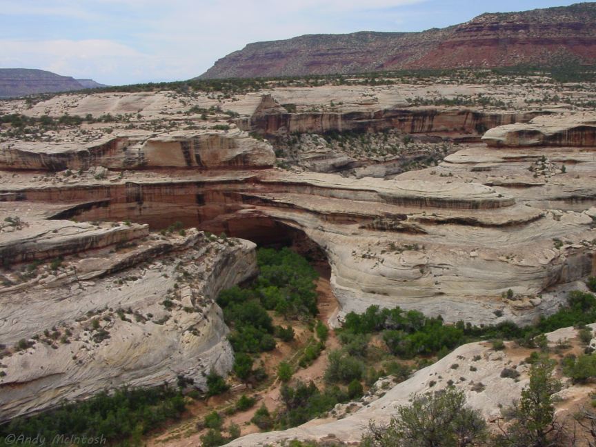
Kachina Bridge, the youngest of the three Natural Bridges
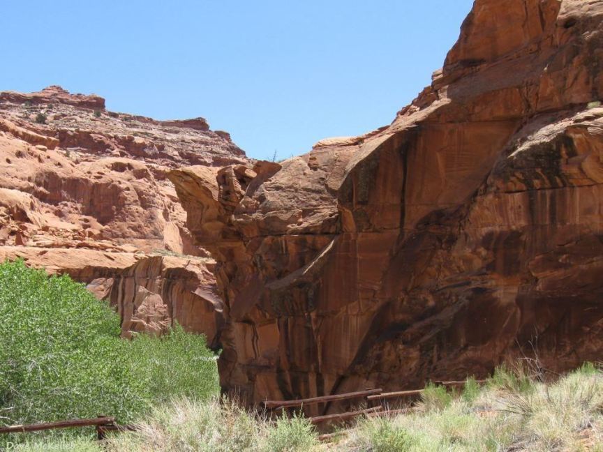
Fry Canyon, unseen from the highway - easy to cross its bridge unaware of its existence
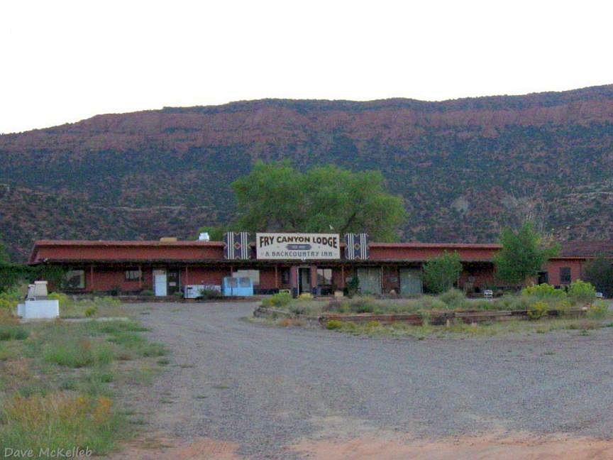
Historic Fry Canyon Lodge, now closed
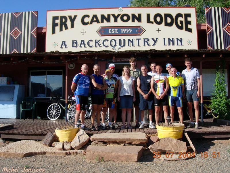
Fry Canyon Lodge was open in July, 2004
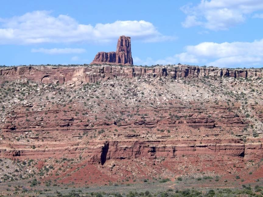
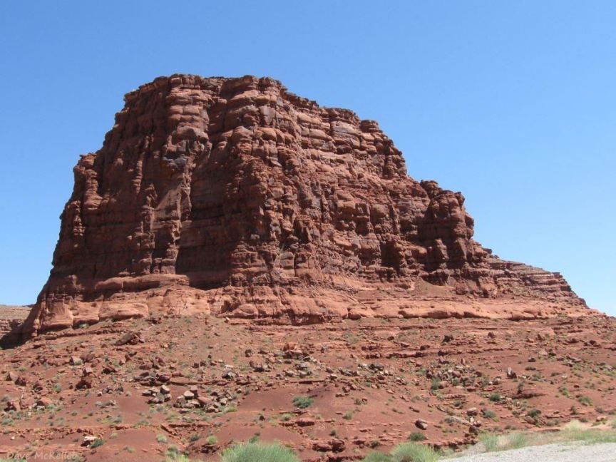
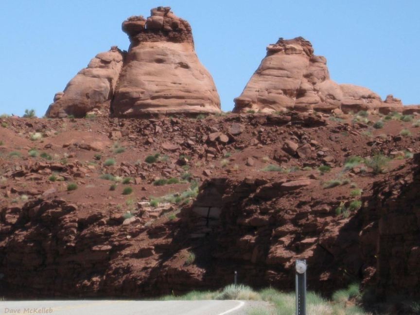
Jacob's Chair,
from Scenic Byway 95 across White Canyon, between Fry Canyon and Hite
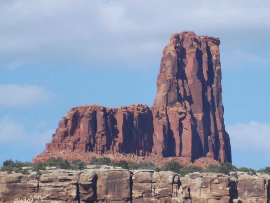
Telephoto view of Jacob's Chair
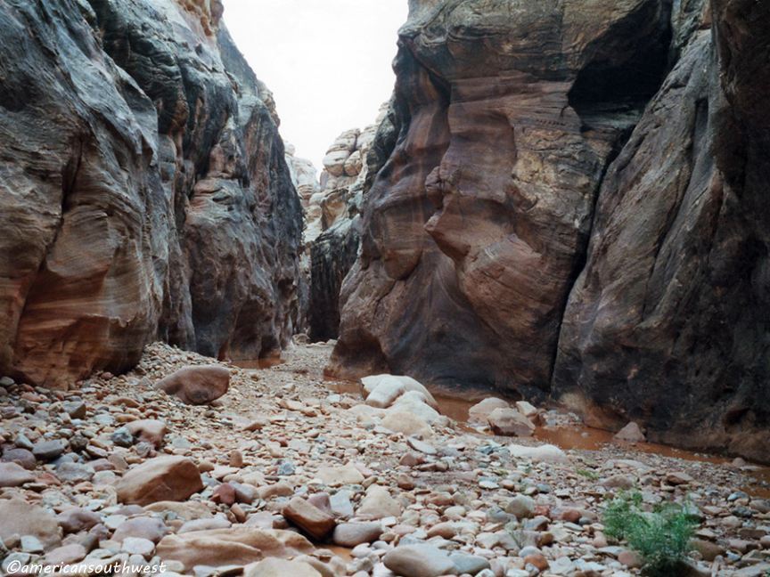
Rocky floor in While Canyon
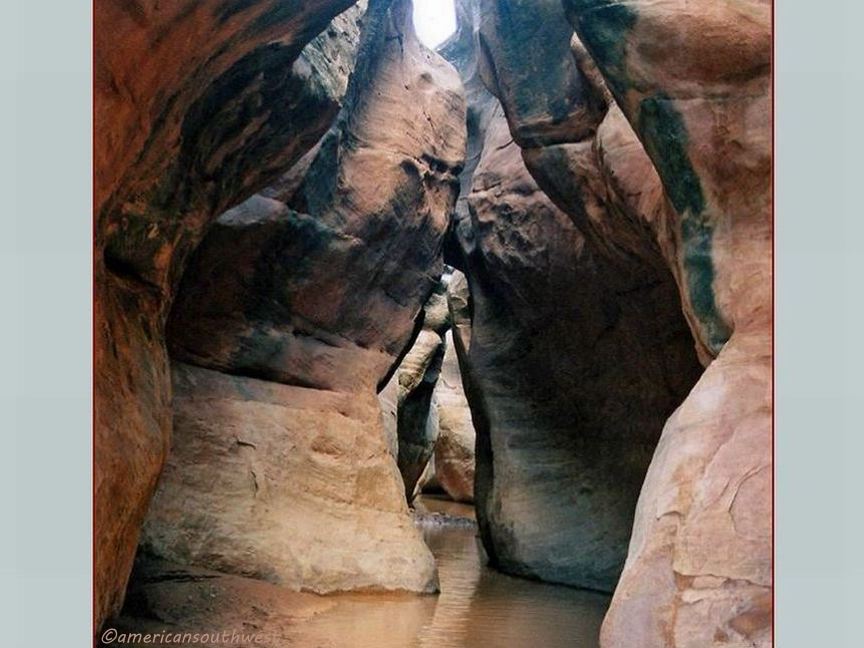
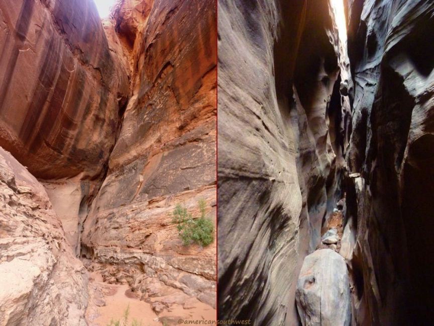
Entering the infamous Black Hole of White Canyon
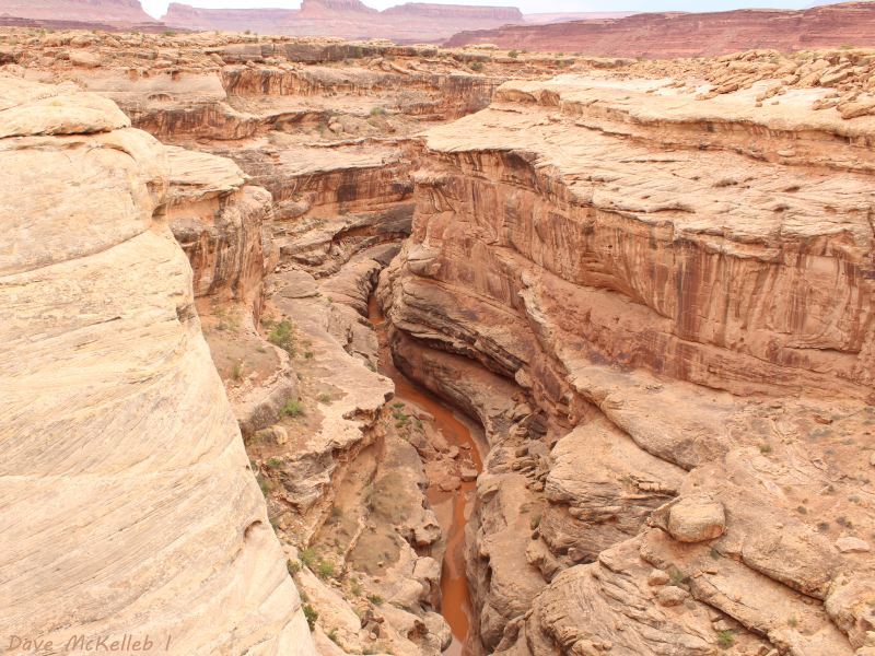
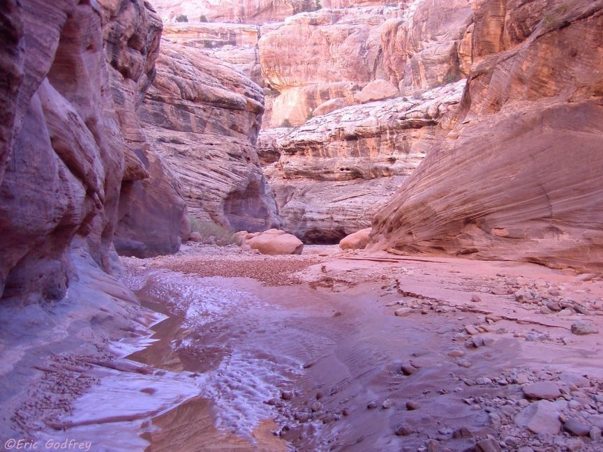
White Canyon south of he SB95 bridge, approaching Glen Canyon and Lake Powell
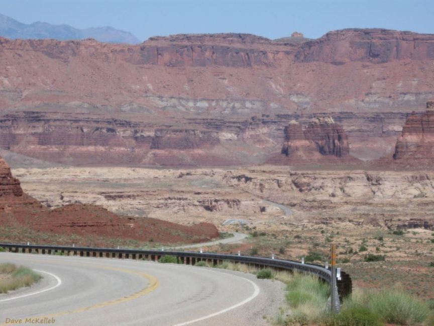
White Canyon behind us, some geology on the SB95 approach to Hite Crossing
Geology on the descent into Glen Canyon, to the Bridge at Hite Crossing and Lake Powell
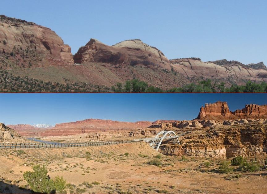
The massive, sheer cliffs of Glen Canyon, the bridge is barely visible down in the canyon
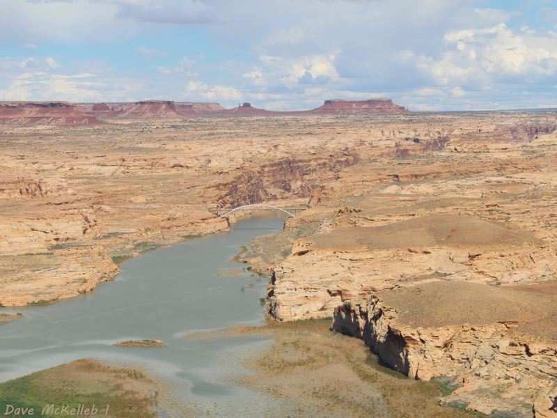
The Bridge at Hite Crossing and Cataract Canyon from Hite Overlook, with a background of Colorado Plateau geology
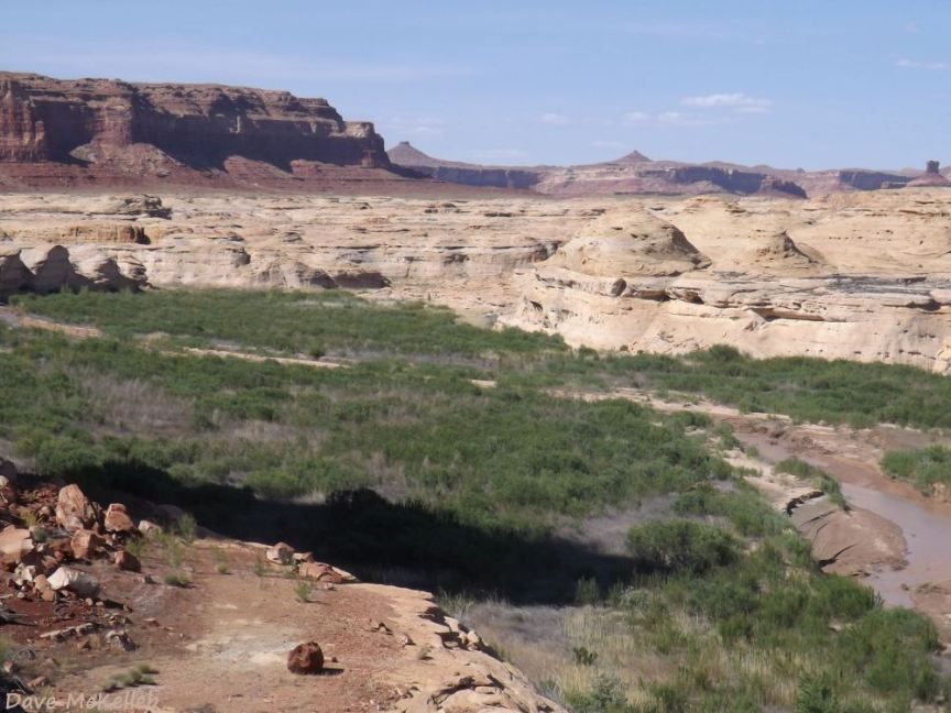
Dry Upper Lake Powell in Dirty Devil Canyon, 4 May 2016, the lake is down 106 feet (32+ m)
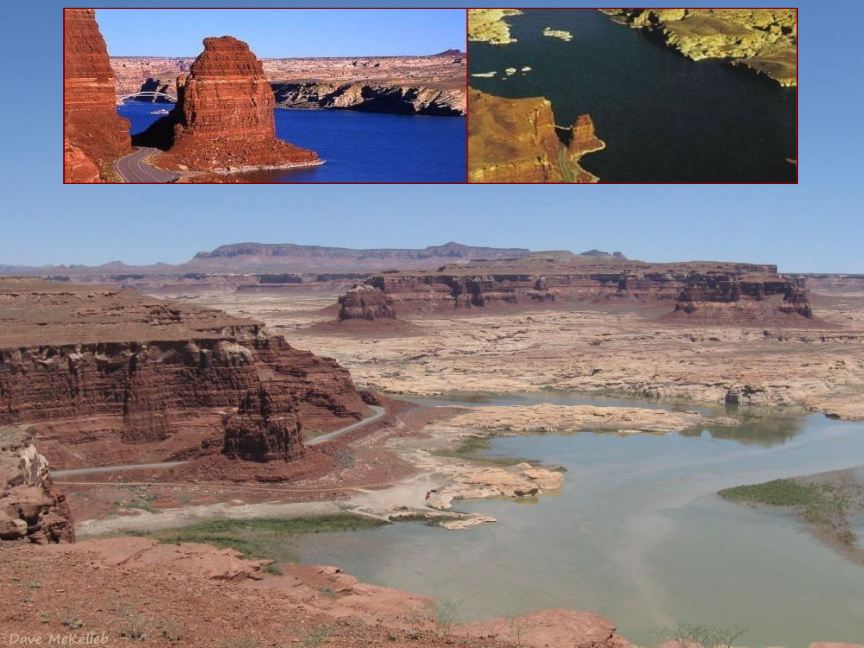
Dry Upper Lake Powell in 2008, with an overlay of a full Lake Powell
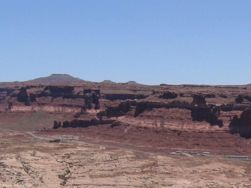
Tiny Hite, Utah, population 120 (2007) with Hite Marina closed
Hite Marina, closed in dought with Lake Powell elevation down 106 ft (photo date 4 May 2016)
Hog Springs Rest Area, Canyon, and Trail; the gallery photo has more canyon & trail info
Hog Canyon trailhead at the back of the rest area
Hog Canyon Slots 3 & 8
Scenic Byway 95 continuing up North Wash from the rest area parking lot
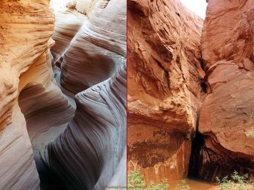
Butler Wash Slot Canyon and the entrnce to Death Slot Canyon
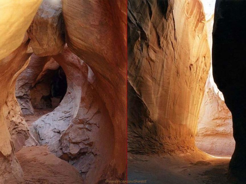
Unnamed North Wash slots identified as C-1 and C-3
Panoramic views of the Scenic Byway 95 cut through Comb Ridge and the bridge at Hite Crossing
large versions of the panoramas are available in the photo gallery