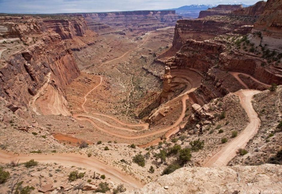
Shafer Trail switchbacks and the junction of Shafer Trail and the White Rim Trail near the top center
of the photo the White Rim Trail continues ahead as Shafer Trail splits left in front of a rock outcrop
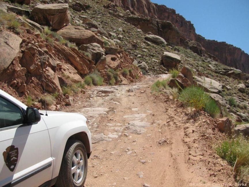
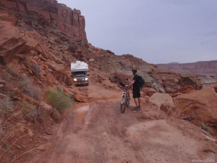
National Park Service vehicle on the rugged White Rim Trail
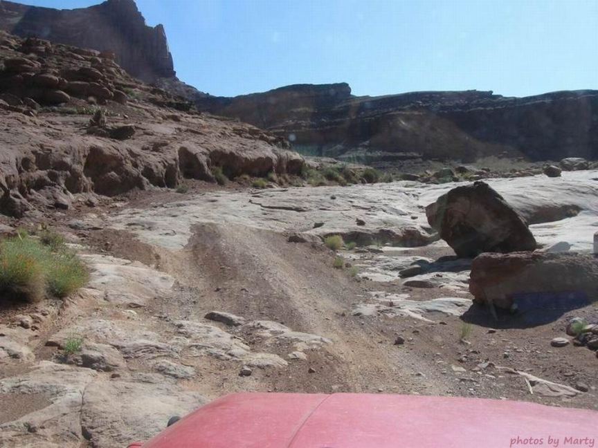
Another view along the rugged White Rim Trail
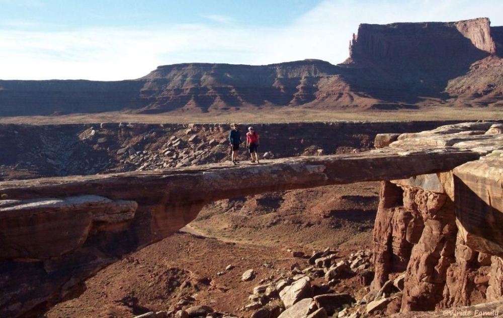
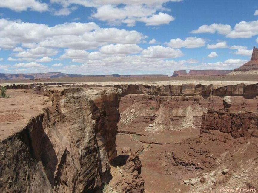
Musselman Arch near the eastern boundary of Canyonlands and Green River, not very far south of Dead Horse Point
Canyon and Clouds
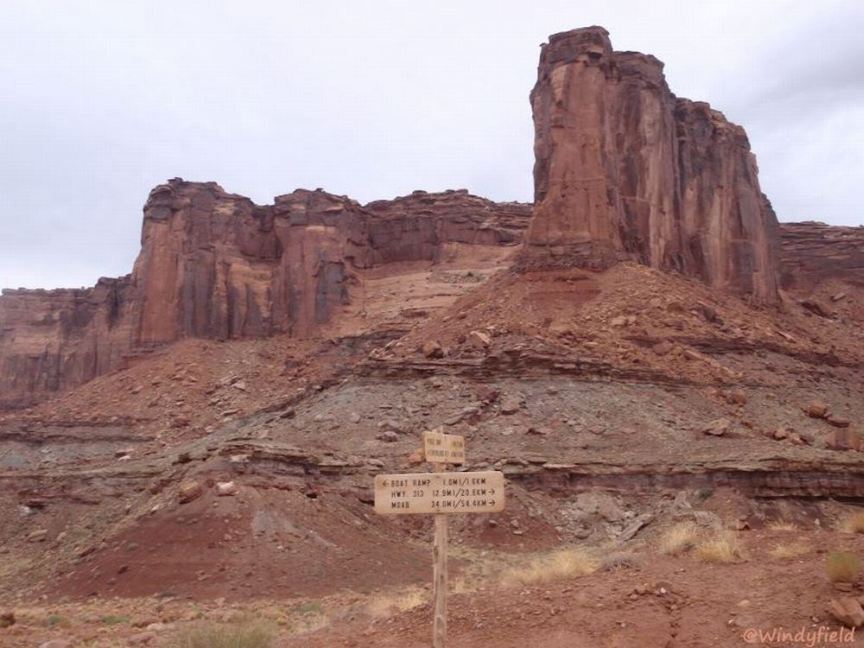
as viewed along the White Rim Trail
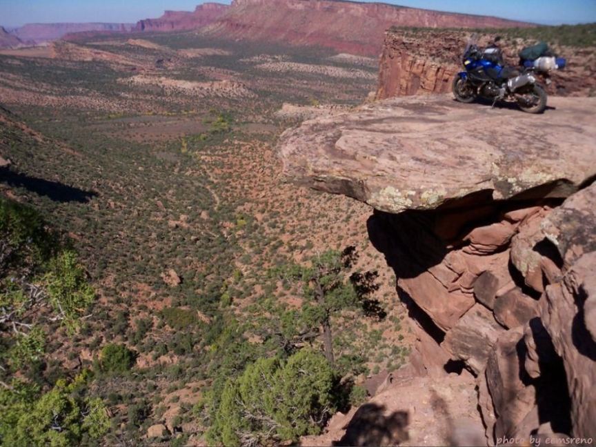
Scenic view from a White Rim overhang along the White Rim Trail
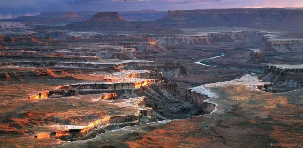
'A storm encroaching the White Rim, viewed from an Island in the Sky overlook in Canyonlands National Park
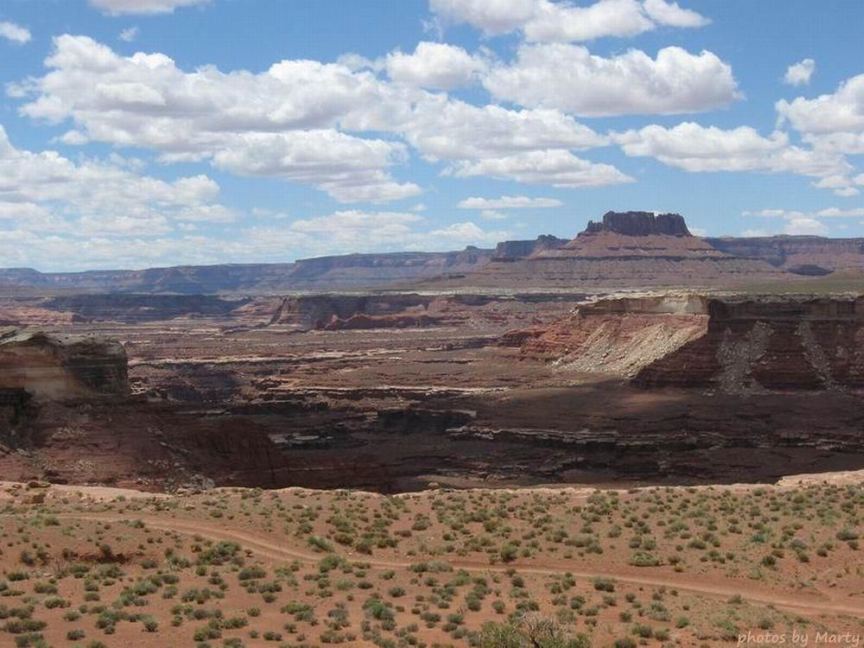
Canyon in the White Rim, as viewed from the White Rim Trail
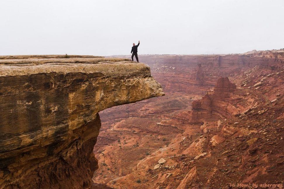
Hi mom!
(author\'s title) The caption under a photo of his car: The trip was proof enough that a street car could handle the road even
in less-than-ideal conditions, with proper preparation and a driver stupid enough to attempt it. That being said, I wouldn\'t recommend it.
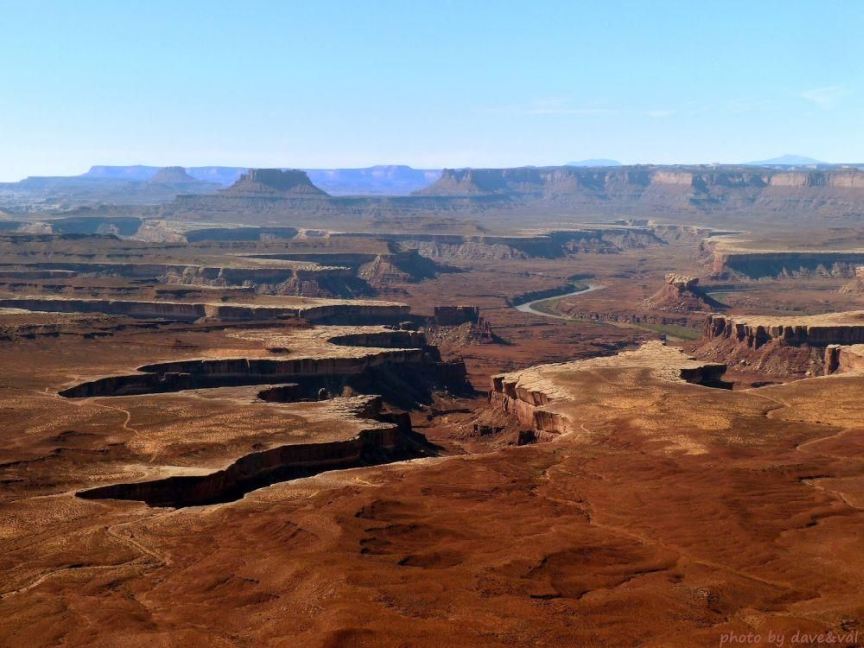
View of the White Rim, White Rim Trail, and Green River from an Island in the Sky overlook
Rock fall on Hardscrabble Hill on the White Rim Trail
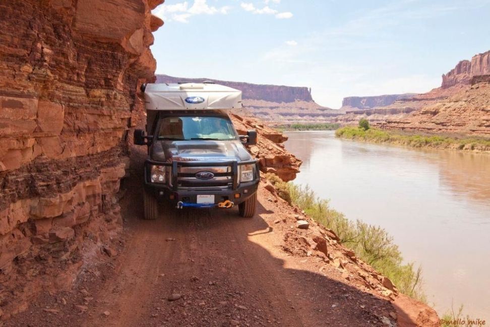
Cliff Driving
(author\'s title) with tight clearance along the White Rim Trail next to Green River
The end of the White Rim Trail at the junction of the Mineral Bottom Road