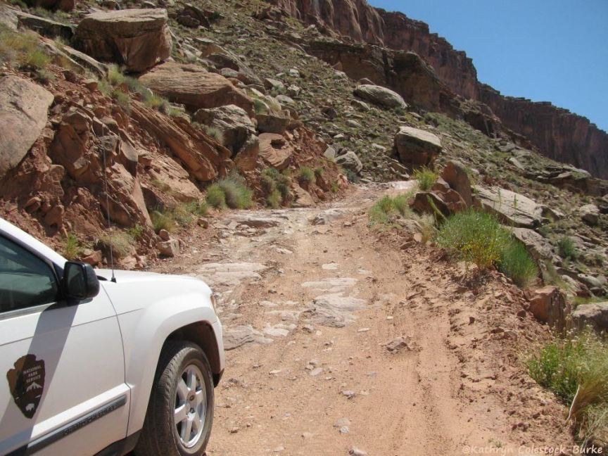
National Park Service vehicle on the rugged White Rim Trail
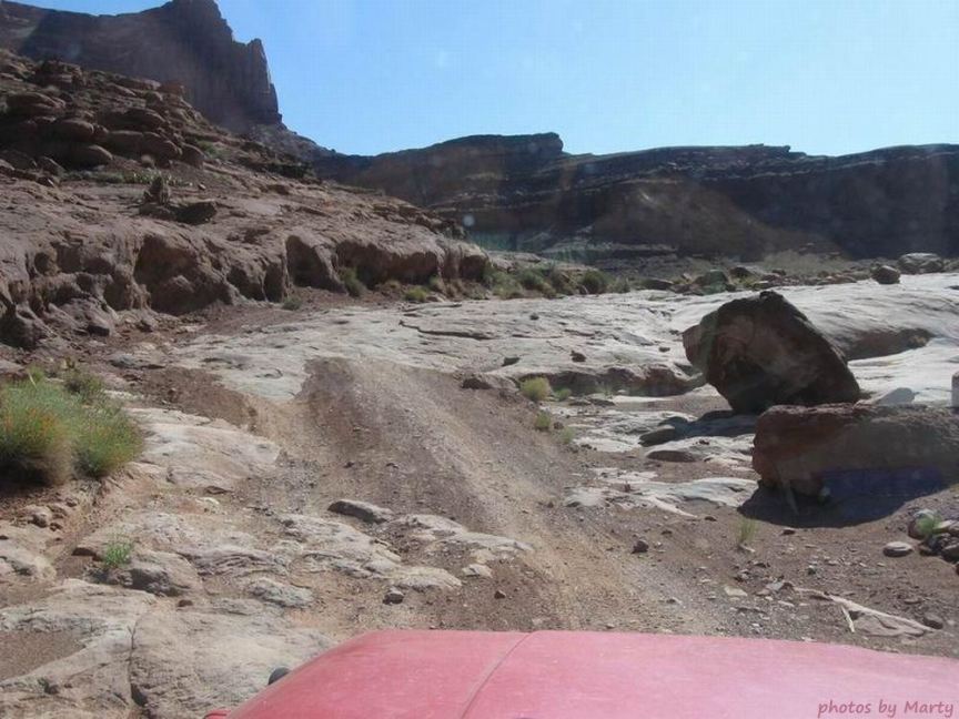
Another view along the rugged White Rim Trail
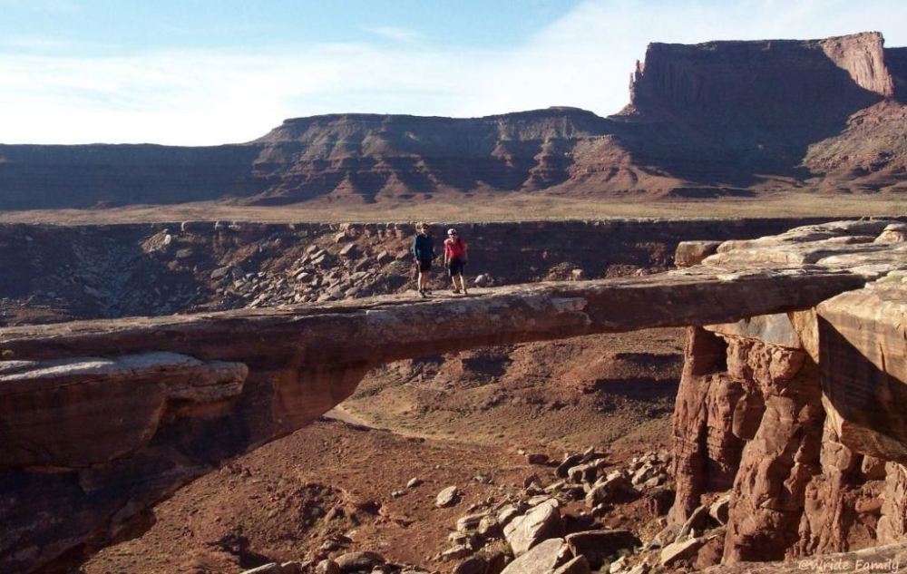
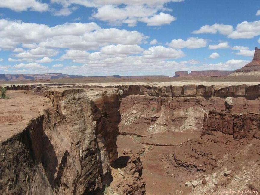
Musselman Arch near the eastern boundary of Canyonlands and Green River, not very far south of Dead Horse Point
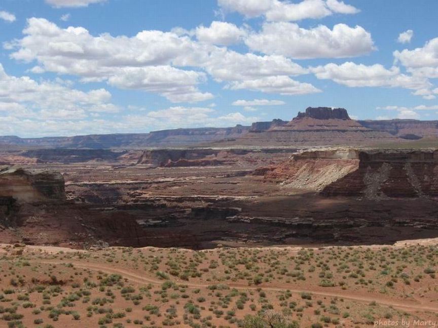
Canyon and Clouds
as viewed along the White Rim Trail
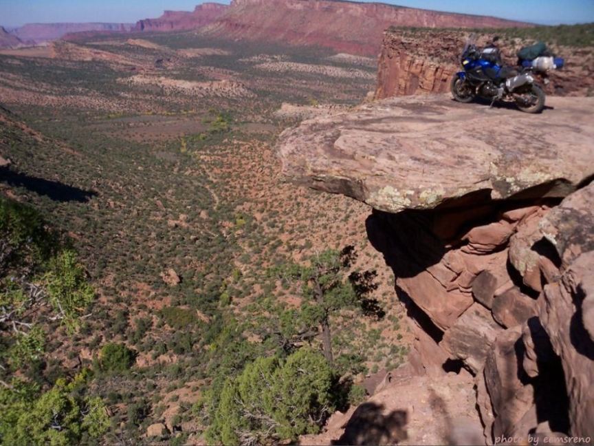
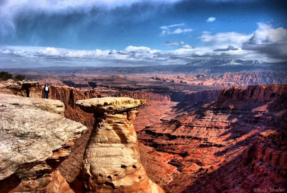
Scenic view from a White Rim overhang along the White Rim Trail
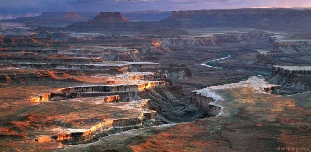
'A storm encroaching the White Rim, viewed from an Island in the Sky overlook in Canyonlands National Park
Canyon in the White Rim, as viewed from the White Rim Trail
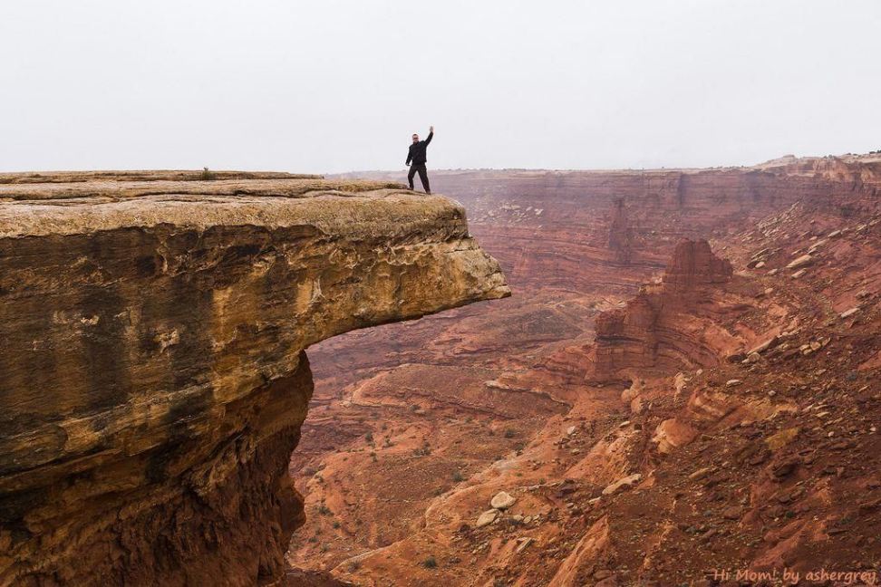
Hi mom!
(author\'s title) The caption under a photo of his car: The trip was proof enough that a street car could handle the road even
in less-than-ideal conditions, with proper preparation and a driver stupid enough to attempt it. That being said, I wouldn\'t recommend it.
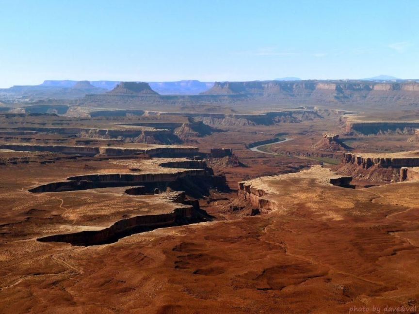
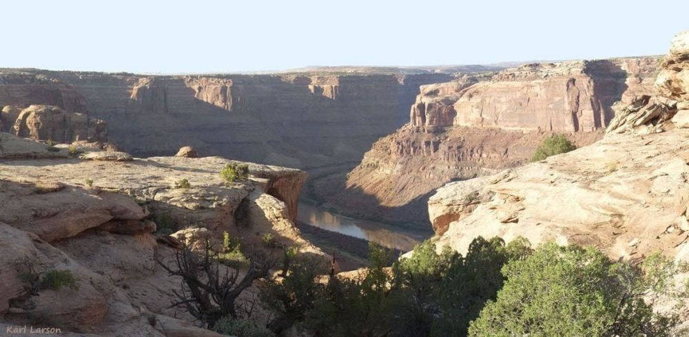
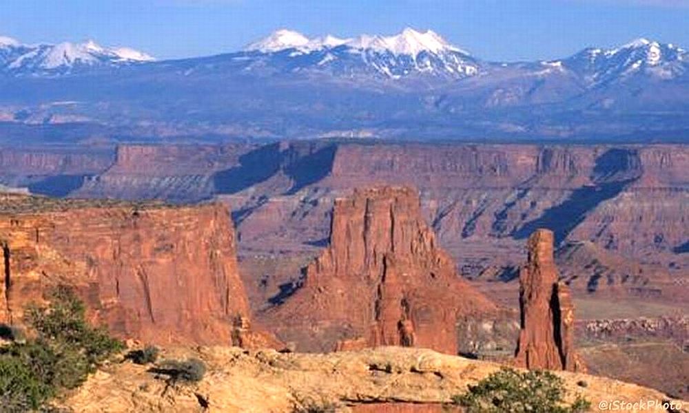
View of the White Rim, White Rim Trail, and Green River from an Island in the Sky overlook
Rock fall on Hardscrabble Hill on the White Rim Trail
Cliff Driving
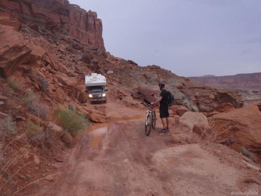
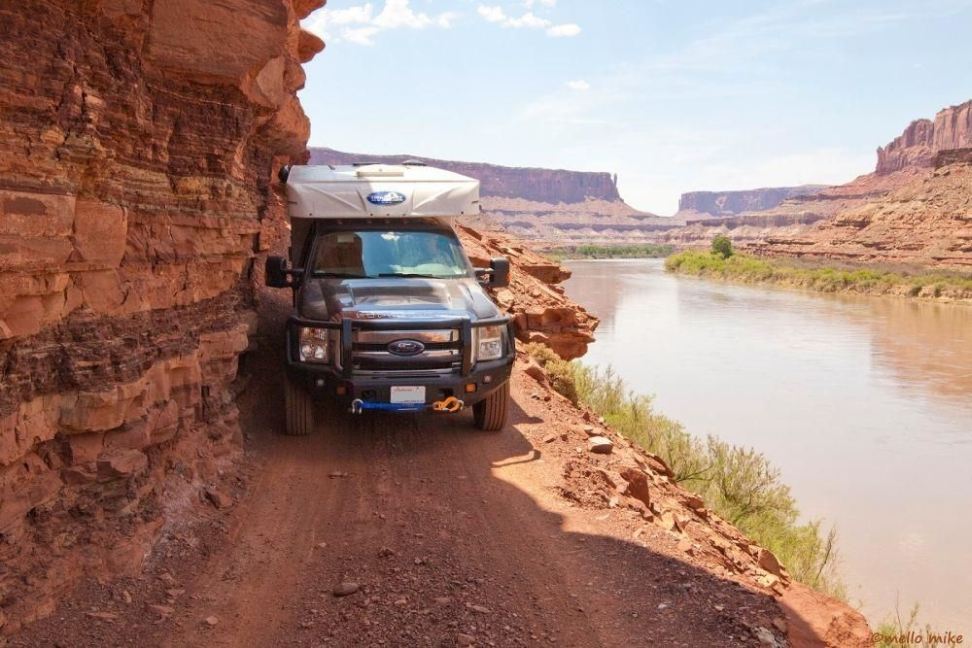
(author\'s title) with tight clearance along the White Rim Trail next to Green River
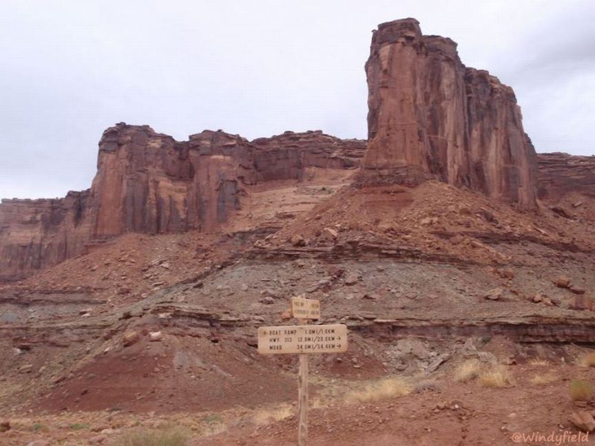
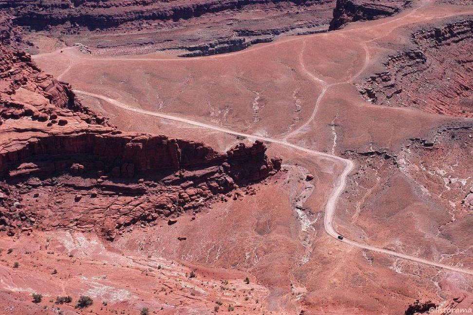
Junction of White Rim Trail and Mineral Bottom Road
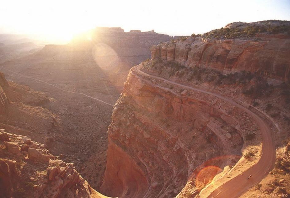
Sunrise on Shafer Trail, east of Grand View Point Road, approaching the switchbacks that drop into Shafer Basin
Shafer Trail switchbacks in the foreground, and the junction of Shafer Trail and the White Rim Trail near the top center of the photo
Shafer Trail splits left in front of a rock outcrop and drops into a canyon, as the White Rim Trail continues straight ahead on the White Rim
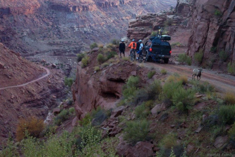
Wride Family on the Shafer Trail (with a Ram - It wasn’t as impressed by us as we were by it.)
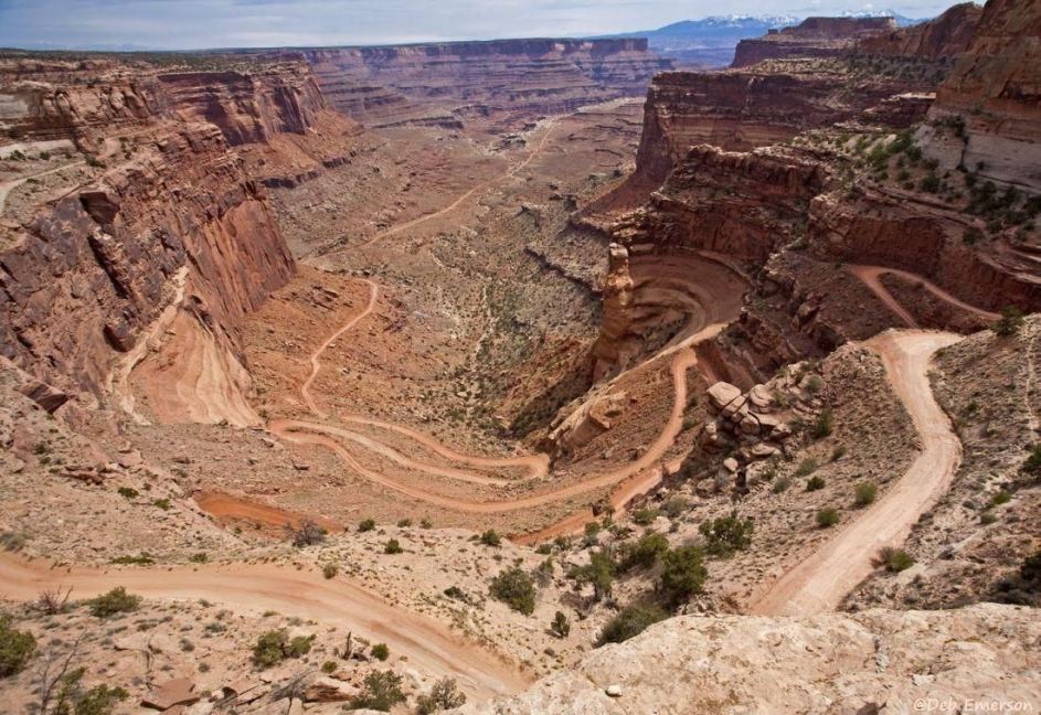
Shafer Trail viewed from Dead Horse Point

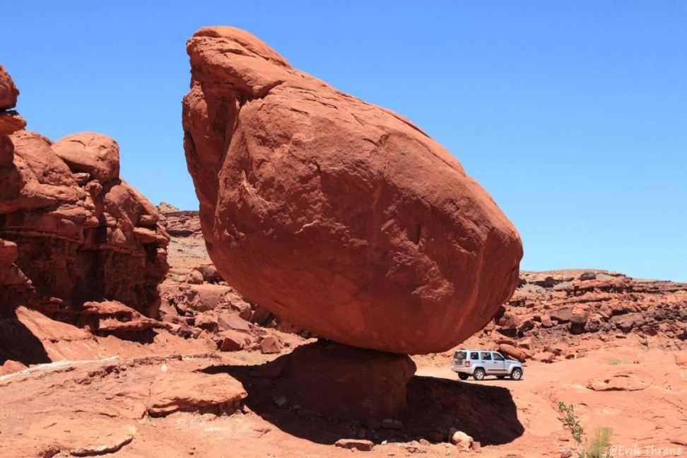
Rock in Balance
along the Shafer Trail
Rock and Jeep - the jeep is behind the rock, not under it
Step in the Road
- a rough step along the Shafer Trail
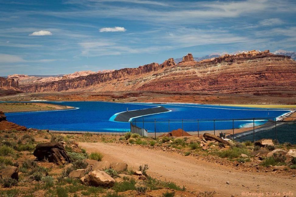
Potash evporation ponds along Potash Road
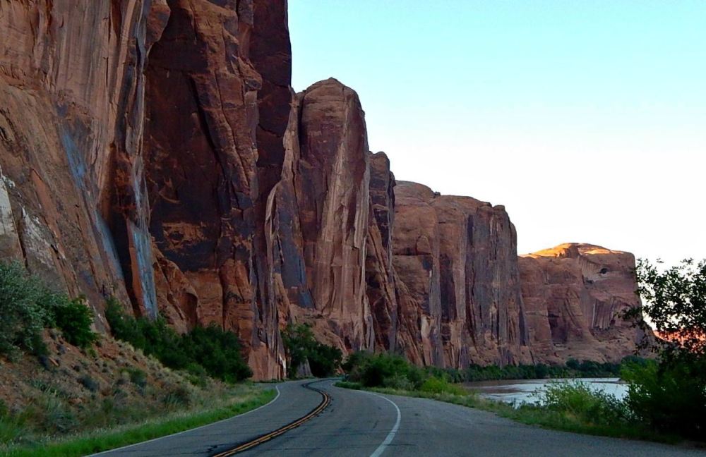
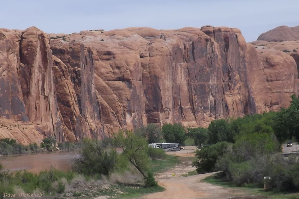
Wall Street
on Potash Road/SR 279
Wall Street
on Potash Road/SR 279 from across the river on Kane Creek Road
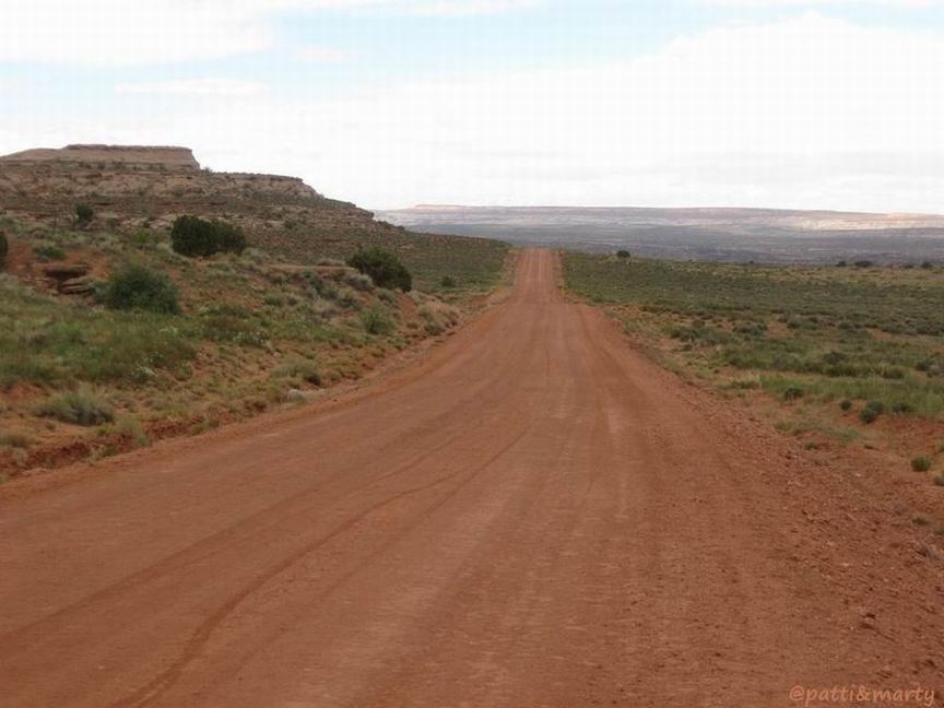
Mineral Bottom Road approaching the switchbacks
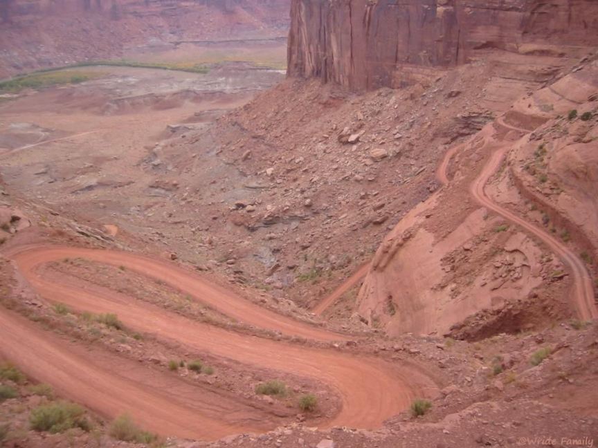
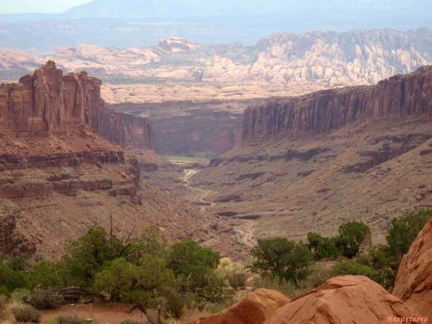
Mineral Bottom Road switchbacks with White Rim Trail junction, Green River, and Mineral Bottom in the background
Mineral Bottom Road approaching the junction with the White Rim Tail and Green River
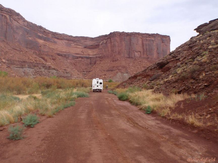
A camper on Mineral Bottom Road
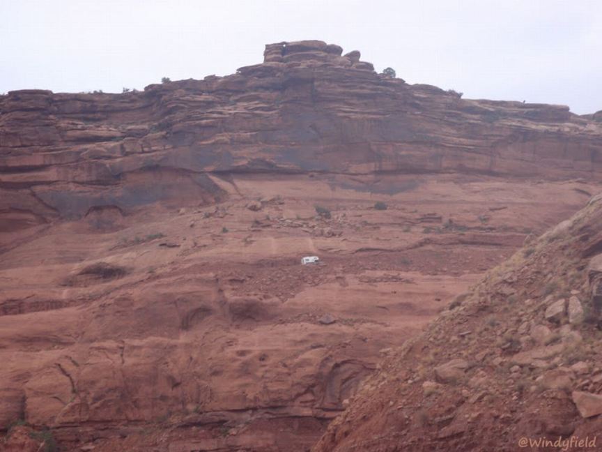
Setting up camp for the night amidst amazing geology beside Mineral Bottom Road
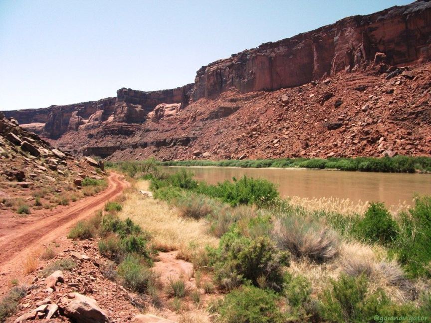
Mineral Bottom Road alongside Green River
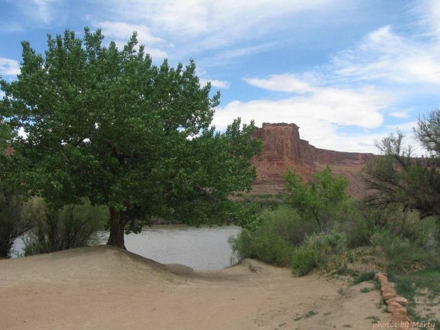
Mineral Bottom boat launch at Green River mile 52, the final take-out before the confluence with Colorado River. Mineral Bottom Road
continues to Mineral Canyon airstrip, and a road extends up Labrynth Canyon to the D Julien inscription of 1836 in Hell Roaring Canyon.
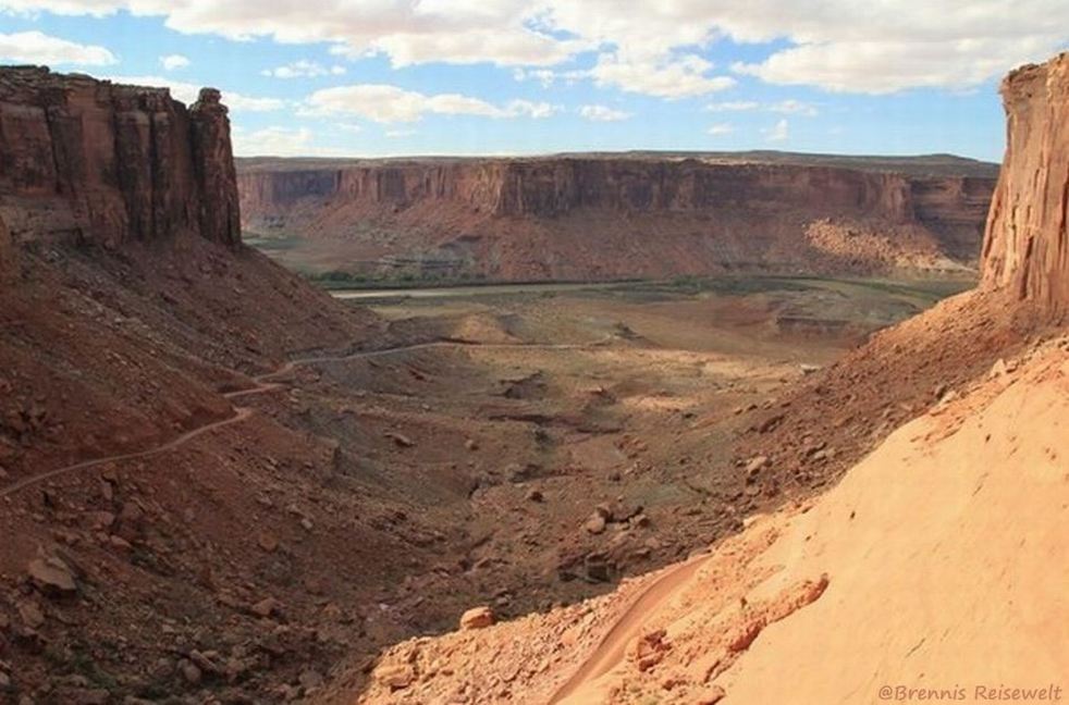
Looking southwest into Labyrinth Canyon on the Green River from above Hellroaring Canyon
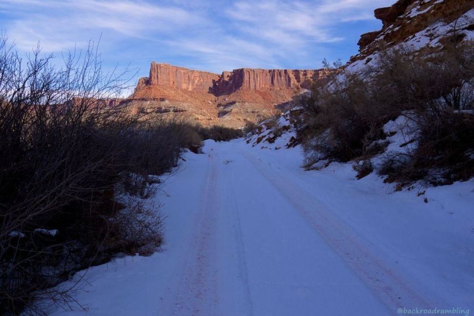
Mineral Bottom Road in snow, around the bend at the bottom of the switchbacks
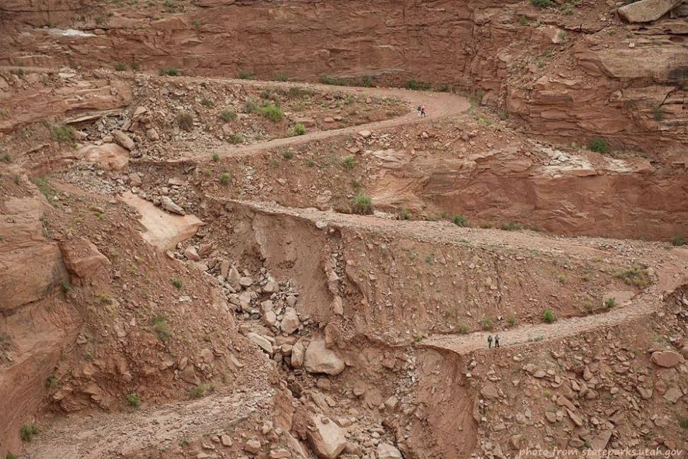
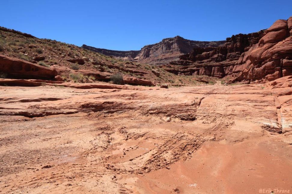
August 2010 flash flood closed Mineral Bottom Road for seven months
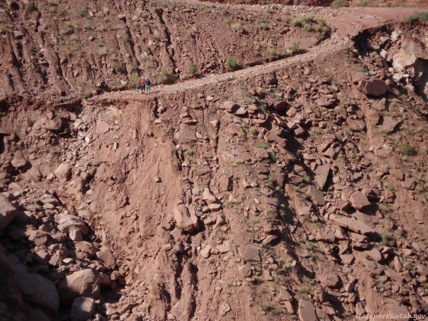
Close-up view of a complete washout on Mineral Bottom Road
Top view of Long Canyon from the mesa
View of Long Canyon and LaSal Mountains from Long Canyon Trail
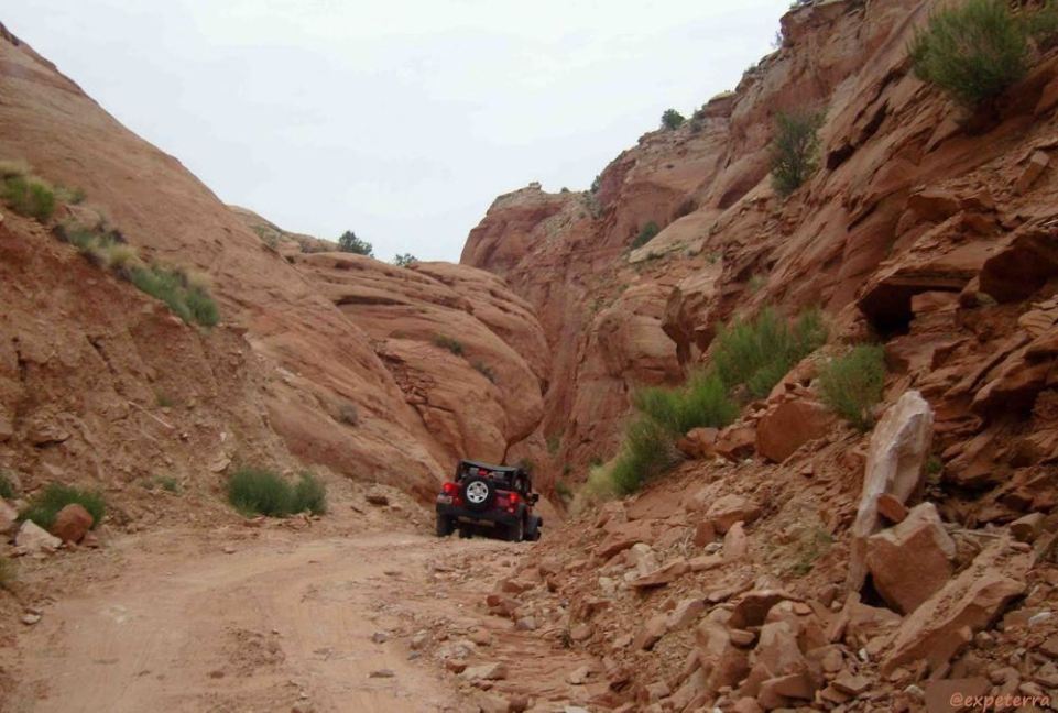
Jeep entering Pucker Pass near the top of Long Canyon
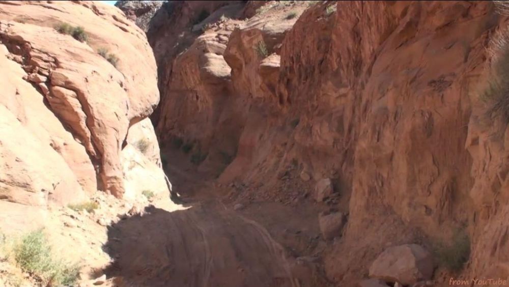
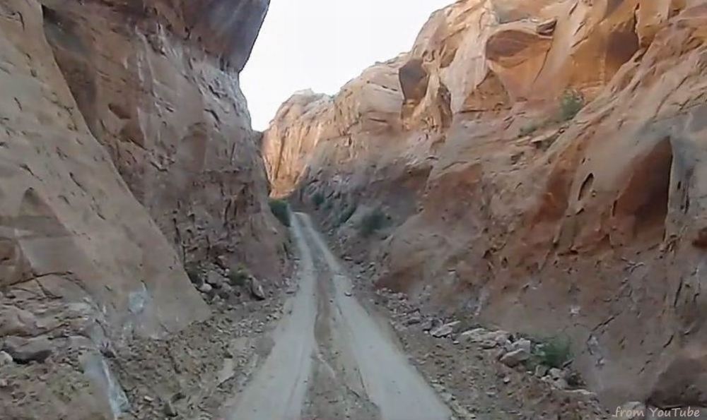
View from a Jeep in Pucker Pass, captured from a YouTube video
View from a Jeep deeper into Pucker Pass, near its end, captured from a YouTube video
View of Long Canyon from Pucker Pass